



The Geographical Connection
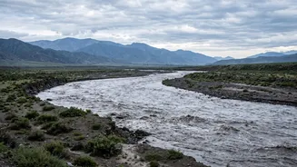
The fundamental reason for this cross-border threat is simple geography. Nepal is a mountainous, landlocked country. Its major rivers, fed by Himalayan glaciers and intense monsoon rains, flow south into India's vast and densely populated Gangetic plains.
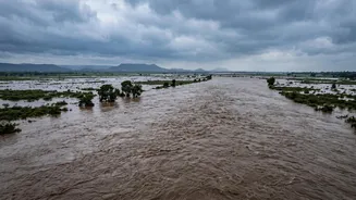
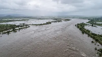
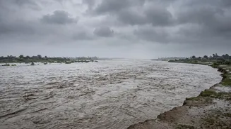
States like Bihar and Uttar Pradesh form the immediate downstream basin for these powerful river systems. Rivers like the Gandak (known as Narayani in Nepal), Kosi, and Ghaghara originate in or flow through Nepal before crossing into India, making the two countries part of a single, interconnected drainage basin. Therefore, any extreme weather event upstream, like the recent flash flood in Nepal's Rasuwa district, inevitably sends a massive volume of water surging towards these Indian states.
Rivers of Sorrow: Kosi and Gandak
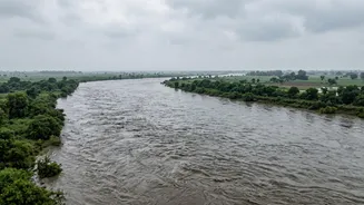
While several rivers are part of this system, the Kosi and Gandak are particularly notorious. The Kosi is infamous as the 'Sorrow of Bihar' for its tendency to flood catastrophically and dramatically change course. It carries an immense amount of silt from the Himalayas, which gets deposited on the plains. This raises the riverbed, forcing the water to carve new paths and breach embankments. The Gandak river system is another major source of concern. The recent flash flood in Nepal's Bhote Koshi and Trishuli rivers sent a surge of water directly towards the Gandak basin. This prompted authorities in Bihar and UP to go on high alert, with districts like West Champaran, East Champaran, Gopalganj, Kushinagar, and Maharajganj facing the most immediate threat.
The Role of Barrages and Embankments
To manage these rivers, India and Nepal have built barrages and embankments, such as the Gandak Barrage at Valmikinagar and the Kosi Barrage at Birpur, both located near the border. These structures are designed to control water flow for irrigation and flood mitigation. However, during extreme events like the current one, they become points of critical pressure. To prevent the barrages from being overwhelmed by a sudden surge from Nepal, authorities are often forced to open all the gates. On August 26, all 36 gates of the Gandak Barrage were opened as a precaution. While this is a necessary safety measure to protect the structure itself, the massive release of water can inundate downstream villages in Bihar and UP, forcing emergency evacuations.
A Shared Challenge of Cooperation
Given the shared river systems, effective flood management is impossible without close cooperation between India and Nepal. The two countries have treaties and joint committees, like the Joint Committee on Kosi and Gandak Projects, to share hydrological data and coordinate efforts. These bodies are crucial for providing early warnings. However, this relationship can be complex, with debates over water rights, project implementation, and benefit-sharing sometimes creating friction. The effectiveness of flood management often depends on real-time data sharing and swift, coordinated action, especially when a disaster like the recent flash flood strikes upstream. Following the recent event, Union Home Minister Amit Shah assured the Chief Ministers of both Bihar and UP of all possible central assistance, and NDRF teams were mobilized.
The Current Situation and Human Impact
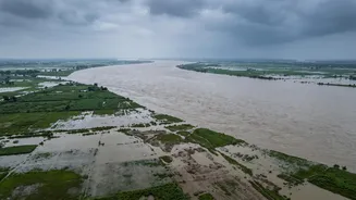
Following the devastating flash flood in Nepal, authorities in Bihar and UP have initiated emergency measures. A high alert was sounded across at least nine districts in north Bihar, and in the border districts of UP. Evacuations have been ordered in low-lying areas, and disaster response teams are on standby. For the millions living in these floodplains, this is a terrifyingly familiar annual cycle. The threat isn't just to lives but also to livelihoods, as floodwaters can destroy standing crops, damage homes, and disrupt the agrarian economy that sustains the region. The administration has urged residents not to panic but to remain vigilant and heed official warnings as the surge of water makes its way downstream.