





More Than Just a Picture
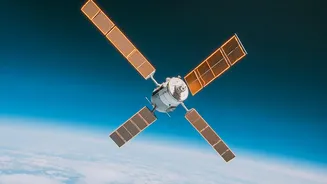
When a satellite passes over a field, it does more than just take a simple photo. It captures information across different wavelengths of light, including those invisible to the human eye, like near-infrared (NIR). This is crucial because healthy, thriving
plants reflect light differently than stressed or unhealthy ones. Specifically, vigorous vegetation absorbs a lot of visible red light for photosynthesis but strongly reflects NIR light. By comparing the amounts of red and NIR light reflected from a patch of land, scientists can calculate a value known as the Normalized Difference Vegetation Index, or NDVI. This index, ranging from -1 to +1, acts as a vital health check for crops. A high NDVI value suggests dense, healthy plant life, while a low value can indicate stress, disease, or even just bare soil.
From Data to Diagnosis
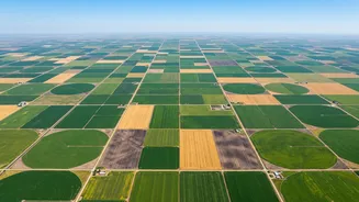
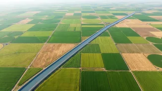
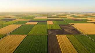
Receiving a stream of NDVI data is just the first step. The real magic happens when this information is translated into actionable insights for farmers. Specialized software and AI algorithms process satellite imagery to create detailed field maps. These maps often use a simple colour code: dark green for highly productive areas and yellow or red for sections that are struggling. This allows a farmer to see the health of their entire farm at a glance, something impossible to do just by walking the fields. This technology can detect problems like nutrient deficiencies, irrigation issues, or pest infestations up to two weeks before they are visible to the naked eye, providing a critical early warning system.
Precision on the Ground
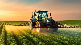
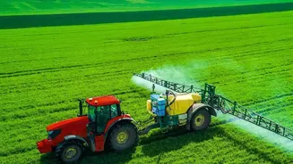
Armed with this satellite-derived intelligence, farmers can practice what is known as precision agriculture. Instead of treating an entire field uniformly, they can target their resources exactly where they are needed. For example, if a satellite map shows a specific zone has low moisture levels, a farmer can adjust their irrigation for just that patch, conserving water. Similarly, fertiliser can be applied more heavily in nutrient-poor areas and less in those that are already thriving, reducing costs and minimising environmental runoff. This targeted approach not only boosts crop yields, often by 10-25%, but also makes farming more sustainable and cost-effective.
A National Perspective for Food Security
Beyond individual farms, satellite monitoring plays a vital role in national food security, especially for a vast agricultural country like India. Government bodies, such as the Mahalanobis National Crop Forecast Centre (MNCFC), use satellite data under programmes like FASAL to generate pre-harvest production estimates for major crops like wheat, rice, and cotton. By monitoring crop health, soil moisture, and weather patterns on a massive scale, authorities can forecast yields, assess the impact of droughts or floods, and make informed policy decisions to ensure a stable food supply. ISRO's own fleet of satellites, including the Resourcesat and RISAT series, provides crucial all-weather data that forms the backbone of these national monitoring efforts.