








The Eye in the Sky
When streets are waterlogged and rivers swell, our perspective is limited to the ground. But for scientists at the India Meteorological Department (IMD) and the Indian Space Research Organisation (ISRO), a much broader view is available. They are looking
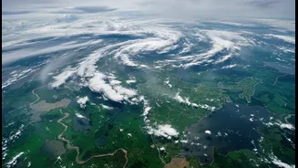
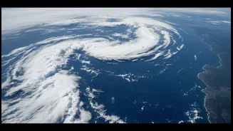
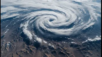
at India from orbit, using a network of advanced weather satellites like the INSAT-3D and INSAT-3DR. These powerful tools are the country's eyes in the sky, providing a constant stream of data that helps demystify the monsoon’s behaviour. Instead of just measuring rainfall in a single location, these satellites capture the colossal scale of weather systems, tracking their formation over vast oceans and their movement across the subcontinent. This orbital view is crucial for understanding not just where it is raining, but why the rain is so intense and widespread.
Decoding the Downpour
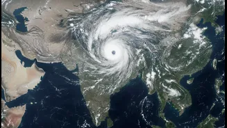
So, what do these satellites actually see? They do more than just take pictures of clouds. Their instruments measure things invisible to the naked eye. Using infrared imagery, they can detect the temperature of cloud tops. Extremely cold and bright white cloud formations, for instance, are a tell-tale sign of deep, towering clouds full of moisture, indicating vigorous thunderstorm activity and the potential for very heavy rainfall. Satellites also track the movement of water vapour, showing how moisture is drawn from the warm waters of the Arabian Sea and the Bay of Bengal. They monitor wind patterns and help identify the birth of low-pressure systems and cyclonic circulations that act as the engines of the monsoon. By piecing together this data on cloud structure, moisture content, and wind flow, meteorologists can build a comprehensive and dynamic map of the monsoon in action.
What's Driving This Year's Intense Spell?
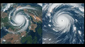
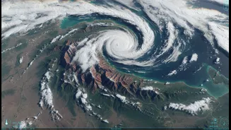
The early July 2026 rains have been particularly intense across large parts of the country, from Delhi and Mumbai to West Bengal and Rajasthan. Satellite imagery has been instrumental in explaining this sudden, powerful surge. After a prolonged dry spell in June when the monsoon stalled, a dramatic revival occurred in early July. ISRO's satellite data captured twin, powerful monsoon systems brewing simultaneously over the Arabian Sea and the Bay of Bengal. These systems funnelled enormous amounts of moisture over the Indian landmass. This activity helped the monsoon advance across the entire country by July 9, making up for the early deficit with widespread, heavy downpours. The deluge that soaked cities like Mumbai and Delhi was not a random event; it was the direct consequence of these large, well-defined weather systems visible from space.
From Pixels to Public Safety
This satellite data is far more than just a scientific curiosity; it is a critical tool for public safety and disaster management. The images and information gathered are fed into weather prediction models, allowing the IMD to issue timely and specific warnings, such as the 'orange' and 'red' alerts for heavy rainfall that have been active in several states. This advance notice gives authorities and citizens vital time to prepare. Furthermore, high-resolution satellite imagery can be used after a major rainfall event to map the extent of flooding. By comparing 'before' and 'after' images, agencies can quickly identify inundated villages, submerged railway tracks, and damaged infrastructure, which is crucial for guiding rescue and relief efforts to the areas that need them most. In essence, the data helps not only to predict the disaster but also to manage its aftermath.