

A New Eye in the Sky
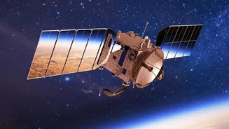
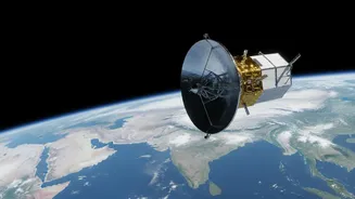
NISAR is a trailblazing Earth observation mission, a joint effort between the US space agency NASA and the Indian Space Research Organisation (ISRO). Launched in July 2025, it is the first satellite to use two different radar frequencies—L-band and S-band—to
measure changes in our planet's surface with remarkable precision, detecting movements of less than a centimeter. This powerful collaboration has produced what is likely the world's most expensive Earth-imaging satellite, designed to track some of the planet's most complex processes. Its primary mission is to scan nearly all of Earth's land and ice surfaces every 12 days, creating a massive, freely available dataset to monitor everything from melting glaciers to the subtle shifting of the Earth's crust before an earthquake.
How It Sees Through Clouds
Unlike traditional optical satellites that work like a camera and are useless in cloudy weather or at night, NISAR uses Synthetic Aperture Radar (SAR). Think of it less like taking a picture and more like a bat using sonar. The satellite sends a microwave radar signal down to Earth's surface and then records the echo that bounces back. Because these radar waves can penetrate clouds, dust, and smoke, NISAR can get a consistent, clear view of the ground in all weather conditions. The mission uses two radar frequencies for comprehensive analysis. The longer wavelength L-band, provided by NASA, can penetrate forest canopies to measure things like soil moisture and forest biomass. ISRO’s S-band is better suited for monitoring crop growth and other vegetation. Together, they provide an unparalleled, day-and-night view of the planet’s vital signs.
Why Daily Data Is a Game-Changer
While NISAR captures a full global map every 12 days, ISRO recently began the daily release of processed S-Band SAR data products for India and other key locations. This shift to providing daily processed data, which started in July 2026, is a significant leap forward. Previously, getting such detailed, all-weather information could take days or weeks. Now, data can be available within hours, especially in response to emergencies like natural disasters. This high frequency of observation allows scientists and disaster management teams to monitor dynamic events almost in real-time. Tracking the progression of a flood, observing the immediate aftermath of a landslide, or monitoring the rapid melting of a glacier becomes possible with a consistency that was previously unattainable. This constant stream of data transforms our ability from simply mapping disasters to actively monitoring them as they unfold.
What This Means for India
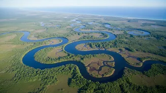
For India, NISAR's capabilities are especially transformative. A significant part of the mission is dedicated to applications of particular relevance to the nation. The ability to accurately measure soil moisture at a high resolution will be a boon for India's agricultural sector, enabling better crop management, yield forecasting, and drought risk assessment. In the Himalayas, the satellite will provide crucial data on snow and glacier melt, which is vital for managing water resources and understanding climate change impacts. NISAR will also be a critical tool for disaster management, offering precise mapping of flood-prone areas like the Brahmaputra basin, identifying landslide zones in hilly regions, and monitoring coastal erosion. Furthermore, its ability to detect subtle ground deformation can help monitor the structural health of infrastructure like dams, bridges, and in rapidly growing cities.