







Decoding GRITSS and Its Core Problem
GRITSS stands for Geodetic Reference Instrument Transponder for Small Satellites. It’s a technology demonstration mission designed to solve a very precise, yet very significant problem: making sure all our different ways of measuring the Earth are perfectly
aligned. Currently, the world relies on three main techniques for high-precision positioning: GPS (and other global navigation systems), Satellite Laser Ranging (SLR), and Very Long Baseline Interferometry (VLBI). While incredibly accurate, they don't speak exactly the same language. Combining their data introduces small, millimetre-level errors because the ground stations are not perfectly tied together. These tiny discrepancies can have big consequences when tracking subtle planetary changes. GRITSS is designed to eliminate these errors by serving as a common reference point in space that all three systems can track simultaneously.
A Unified Reference in the Sky
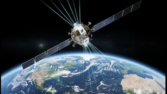
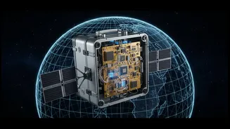
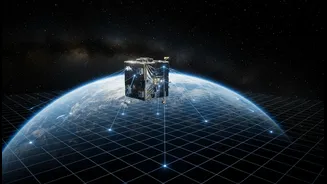
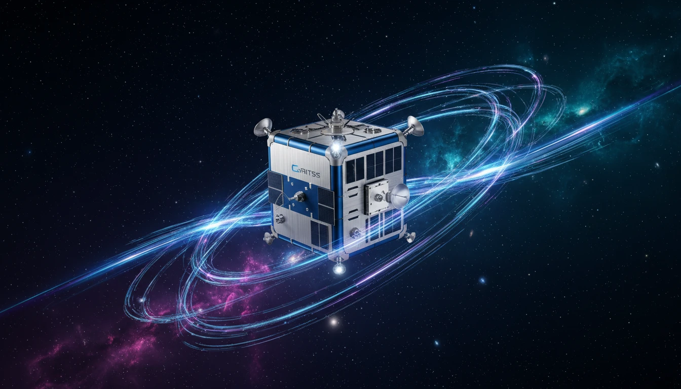
The cleverness of GRITSS lies in its ability to act as a universal translator. The satellite, a compact CubeSat, carries a unique payload. It has a modified GPS receiver that captures navigation signals. Onboard processors then upconvert these signals and broadcast them back to Earth in frequencies that the giant radio dishes of the VLBI network can understand. At the same time, it carries a traditional laser retroreflector—essentially a high-tech mirror—that allows SLR stations on the ground to bounce laser beams off it. By being a single target that can be seen by GPS, VLBI, and SLR networks, GRITSS creates a direct, space-based link between them for the first time, calibrating them against each other with incredible precision. The goal is to improve the accuracy of the International Terrestrial Reference Frame (ITRF)—the world’s foundational grid system—to within one millimetre.
Why Millimetres Matter
A more accurate global reference frame is the bedrock of modern Earth science. When scientists want to measure critical changes—like the melting of ice sheets, the rise of sea levels, or the movement of continents—they need an absolutely stable and reliable grid. An improved ITRF allows for more precise tracking of water resources, a crucial factor for agriculture and city planning. It refines climate models by providing better data on ocean cycles like El Niño and helps scientists project the impacts of climate change with greater confidence. In essence, GRITSS isn't just improving a map; it's enhancing the trustworthiness of every single piece of scientific data that is placed upon that map.
Impact for a Dynamic Nation Like India
For a country as geographically diverse and dynamic as India, the implications of this enhanced precision are profound. More accurate geospatial data can revolutionise urban planning in rapidly expanding cities, guiding smarter decisions on infrastructure, transport, and utilities. In agriculture, this level of location intelligence can boost precision farming, optimising the use of water and fertilisers. For environmental monitoring, the benefits are even clearer. A globally consistent framework enables more exact tracking of Himalayan glacier melt, variations in monsoon patterns, critical groundwater depletion, and coastal erosion. This empowers Indian scientists and policymakers with more reliable data to manage resources and mitigate the impacts of environmental change proactively.
The Path Forward
Launched on July 7, 2026, aboard a SpaceX Falcon 9 rocket, the GRITSS mission is now in low Earth orbit. This mission is a collaborative effort involving NASA's Goddard Space Flight Center, the University of Massachusetts Lowell, and the Dutch small-satellite manufacturer ISISPACE, which built the spacecraft. Over the next year, the satellite will undergo commissioning and begin its work of broadcasting signals to NASA's network of stations. The engineering is challenging, as the satellite's internal timing components must remain stable to within one-trillionth of a second while orbiting through extreme temperature swings. If this technology demonstration is successful, it could pave the way for a constellation of similar satellites, providing continuous, ultra-precise calibration for our planet's positioning systems.