




Our Rivers’ Built-In Safety Valve
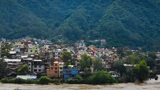
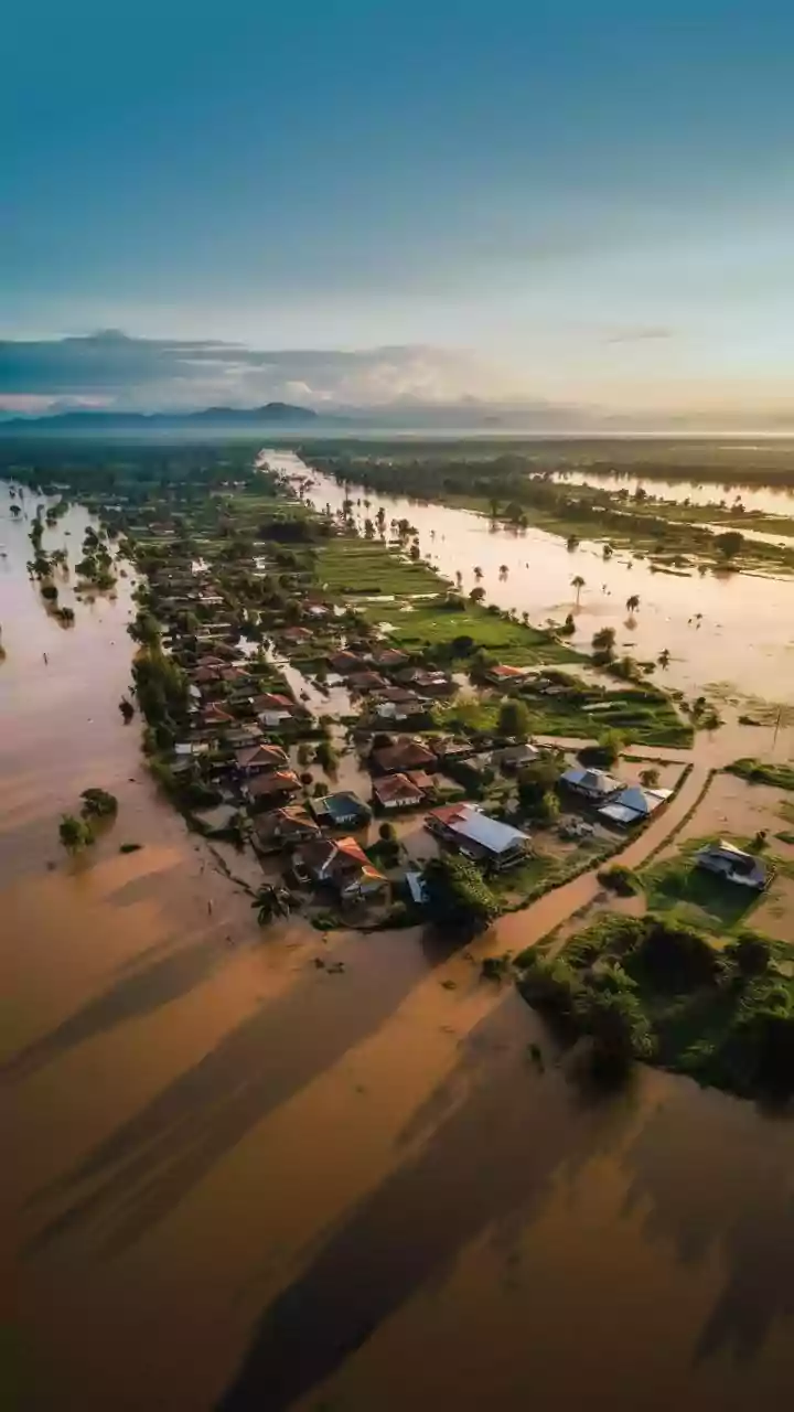
Every river has a floodplain, the low-lying land on either side of its channel. Think of it as a natural safety valve. During heavy monsoon rains, when the river swells, this land is meant to be temporarily submerged. This process, called floodplain inundation,
allows the river to spread out, slowing the water's velocity and reducing its destructive power. By giving the excess water somewhere to go, floodplains naturally lower the peak flood level downstream, protecting areas that would otherwise be inundated. This natural drainage system is crucial for any city built near a river, serving as the primary route for excess runoff to reach the sea.
When Concrete Chokes the Channel
Across India, rapid and often unregulated urbanisation has led to rampant encroachment on these vital floodplains. Illegal structures—from residential colonies and commercial buildings to retaining walls and debris dumps—are built directly in the river's path. This encroachment physically constricts the river, narrowing its channel and reducing its capacity to carry water. The Mithi River in Mumbai and the Adyar River in Chennai are stark examples where decades of encroachment have turned natural storm drains into little more than sewers, severely compromising their ability to handle monsoon deluges. This process effectively suffocates the river, leaving it with no room to breathe when the rains come.
The Science of a Man-Made Flood
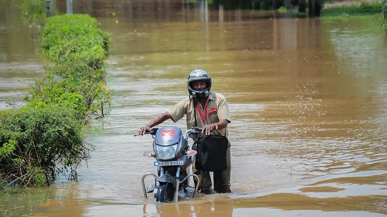
The consequences of this obstruction are scientifically predictable and devastating. When a river's path is blocked, the water doesn't just stop; it backs up, much like a clogged pipe. This causes water levels to rise significantly upstream. Furthermore, as the water is forced through a narrower channel, its speed and force increase dramatically. This heightened velocity can cause severe erosion and lead to flash floods in unexpected areas, turning a manageable rainfall event into a large-scale disaster. Experts increasingly refer to these events not as natural disasters but as man-made ones, directly caused by flawed development and a failure to respect the river's natural domain.
Clearing the Arteries of the City
Recognising this, cities across India have begun conducting large-scale anti-encroachment drives. Following court orders and renewed focus after major flood events, authorities in cities like Chennai, Pune, and Lucknow have started demolishing illegal structures built on riverbeds and floodplains. These drives aim to reclaim the river's land, clearing the path for water to flow freely. For example, after the 2015 Chennai floods, major efforts were undertaken to remove thousands of encroachments along the Adyar river. Similarly, authorities in the Pune region recently identified and began removing thousands of unauthorized structures along the Mula, Pavana, and Indrayani rivers. These operations are often complex, facing legal hurdles and public protests, especially from residents who may have lived there for decades.
Restoring the Natural Flow
The primary benefit of removing these constructions is the restoration of the river's natural flood discharge capacity. Once the obstacles are gone, the river can reclaim its floodplain. During heavy rains, the water can once again spread out laterally, reducing the height and speed of the floodwaters moving downstream. This 'floodplain reconnection' not only mitigates flood risk but also improves the river's overall health. It allows for natural sediment transport, improves water quality by reducing stagnation, and helps recharge groundwater. Restoring these natural functions is one of the most effective long-term strategies for building urban climate resilience.