


The Permian's Billion-Dollar Problem
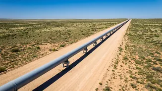
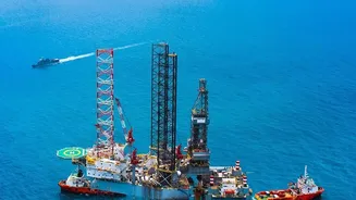
The Permian Basin is one of the most productive oil and gas fields in the world. As crews extract oil, they also bring up enormous quantities of natural gas, which is composed primarily of methane. While natural gas is a valuable fuel, methane is also a greenhouse
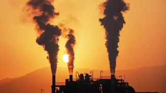
gas over 80 times more potent than carbon dioxide in the short term. For years, accurately measuring how much methane was escaping from the region's sprawling network of wells, pipelines, and processing facilities was nearly impossible. Data from early 2026 revealed a startling gap: satellite observations showed methane emissions were potentially four times higher than what was being reported. This lost gas, whether from leaks, intentional venting, or incomplete flaring, represents not only a significant climate threat but also billions of dollars in wasted product.
An Eye in the Sky Sees the Invisible
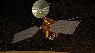
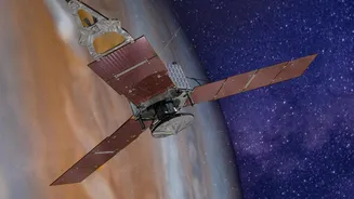
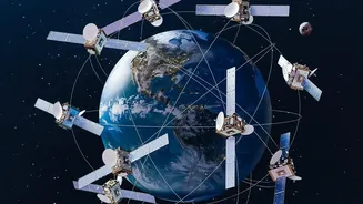
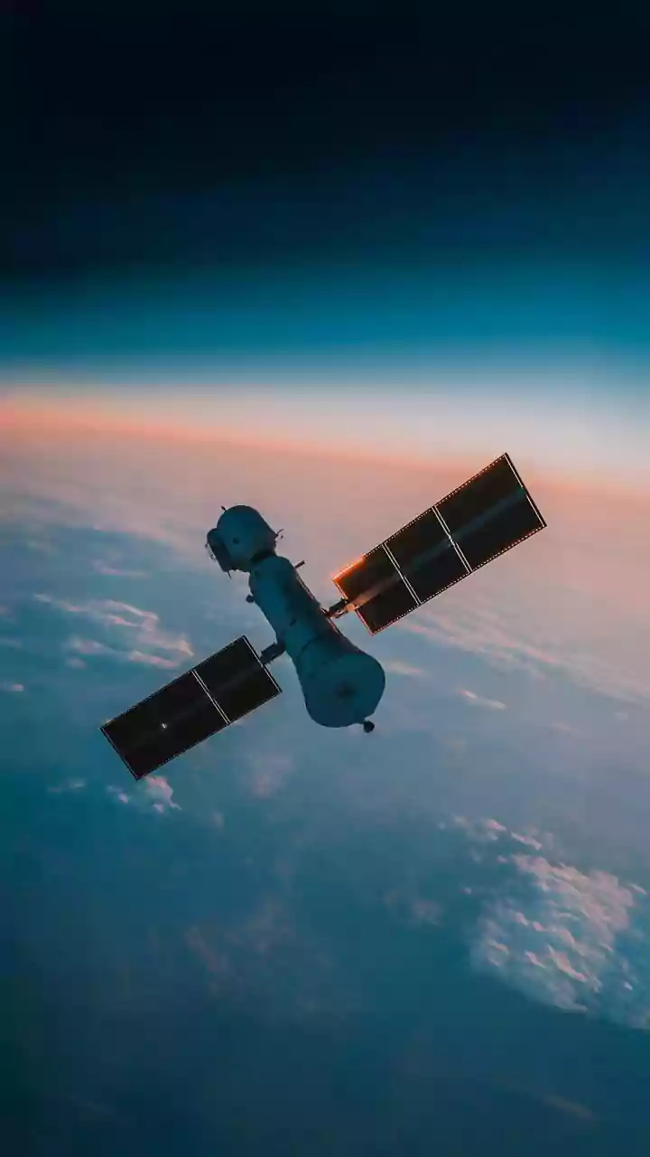
Enter satellite remote sensing. This technology offers a revolutionary way to monitor vast and often remote areas. Specialized satellites are equipped with instruments called imaging spectrometers. As sunlight reflects off the Earth's surface, these instruments can detect the unique spectral fingerprint of methane in the atmosphere, which absorbs specific wavelengths of light. Think of it like a chemical barcode that only methane has. Satellites can be categorized into two main types: area mappers that provide a big-picture view of emissions across an entire basin, and point-source imagers that can zoom in to identify the specific facility responsible for a leak. This transforms an abstract environmental problem into a concrete, actionable repair list for operators on the ground.
From Data to Action
The process is creating a new feedback loop for the industry. A satellite passes over the Permian, its sensors capturing methane plumes that are invisible to the naked eye. This data is then processed by companies and organizations, such as the Environmental Defense Fund with its MethaneSAT project, to pinpoint the emission's source. Once a significant leak is identified, the facility operator can be notified. This allows companies to dispatch repair crews faster and more efficiently than ever before, moving from slow, ground-based survey methods to rapid, data-driven responses. Major energy players like ExxonMobil have begun integrating this satellite data with their ground-based monitoring systems to accelerate mitigation efforts. The result is less wasted gas and a quicker plug on potent greenhouse emissions.
Regulation and Reputation Drive Change
This technological shift isn't happening in a vacuum. A combination of regulatory pressure and market forces is accelerating its adoption. In the U.S., the Environmental Protection Agency (EPA) has been developing rules aimed at curbing methane from both new and existing oil and gas sources. While the specifics of these regulations have been subject to political shifts, the overall trend is toward greater accountability. At the same time, investors are increasingly focused on environmental, social, and governance (ESG) criteria, pushing companies to demonstrate that they are managing their climate risks. A recent congressional investigation was even launched after satellite data revealed the large discrepancy between reported and observed emissions in the Permian.
Proof of Concept: A Tale of Two States
The effectiveness of this approach is already being demonstrated. MethaneSAT data from 2024 and 2025 showed a stark difference between the two states that share the Permian Basin. The methane intensity—the amount of gas leaked relative to the amount produced—was significantly lower on the New Mexico side compared to the Texas side. Researchers attribute this difference to stronger emissions regulations that New Mexico implemented in 2021. The analysis showed New Mexico’s lower emissions rate translated into an estimated $125 million in captured natural gas annually. This provides powerful evidence that a combination of smart regulation and advanced monitoring can produce measurable results, both for the environment and the bottom line.