


The Limits of a 'Camera in the Sky'
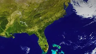
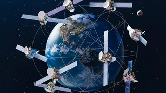
Most satellites we think of are 'optical' satellites. Essentially, they are powerful cameras orbiting Earth, capturing images using reflected sunlight, much like our own eyes do. This technology gives us the familiar, detailed colour pictures of our planet.
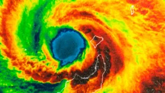
However, they have the same limitations as any camera: they need light, so they cannot see at night. More importantly for a country like India, which experiences heavy monsoon seasons, they are completely blinded by cloud cover. This is a major problem when you need to see what’s happening on the ground during a cyclone or widespread flooding, events that are almost always accompanied by thick clouds.
The All-Seeing Eye: Enter Radar
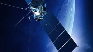
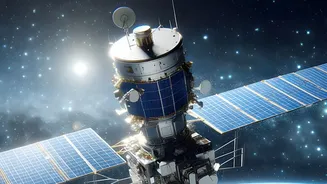
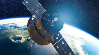
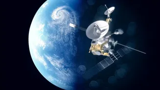
This is where radar satellites come in. Instead of passively relying on sunlight, they are 'active' sensors. They work by sending their own signals—short pulses of microwave energy—down to Earth's surface and then recording the 'echoes' that bounce back. It's similar to how a bat uses echolocation to navigate in the dark. The satellite transmits a signal, it hits an object on the ground (like a building, a field, or a body of water), and the reflected signal returns to the sensor. By measuring the time it takes for the echo to return and its strength, the satellite can build a detailed picture of the ground below.
Piercing the Veil of Clouds and Darkness
The secret to radar's all-weather capability lies in the type of energy it uses. While optical satellites use visible light, radar satellites use microwaves, which have a much longer wavelength. These longer waves can travel through clouds, fog, smoke, and rain without being scattered or blocked, something visible light cannot do. Because the satellite provides its own illumination by sending out signals, it is also completely independent of the sun. This gives it the remarkable ability to capture high-resolution images at any time of day or night, under virtually any weather conditions. The technology most commonly used is called Synthetic Aperture Radar (SAR).
How This Superpower Helps India
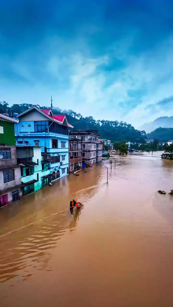
This uninterrupted, all-weather vision is not just a technical marvel; it's a critical tool for India. During natural disasters like floods and cyclones, SAR satellites are invaluable. When regions are covered in clouds, radar satellites can map the extent of flooding in near real-time, showing authorities which villages are inundated and which roads are cut off. The Indian Space Research Organisation (ISRO) uses its series of Radar Imaging Satellites (RISAT) for precisely these tasks, providing crucial data for disaster response. Beyond disasters, this technology is transforming agriculture. By analysing the radar echoes, scientists can estimate soil moisture even when the ground is obscured, helping to forecast droughts and advise farmers on irrigation. It also helps in accurately mapping crop acreage and estimating yields, which is vital for the nation's food security.
A Sharper View of Our Changing World
The applications of SAR technology continue to grow. It is used to monitor deforestation, track oil spills on the ocean, observe the melting of Himalayan glaciers, and even detect subtle changes in the ground level of cities, which can indicate land subsidence. ISRO's RISAT series, including satellites like RISAT-1A (also known as EOS-04), are specifically designed to support these wide-ranging applications, from forestry and urban planning to ensuring national security. As the technology becomes more advanced and the data easier to interpret with the help of artificial intelligence, these 'all-seeing' satellites are becoming an increasingly essential part of managing our resources and keeping citizens safe in a dynamic world.