






A Redemption Mission with a Critical Goal
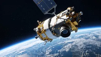
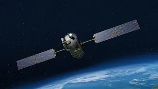
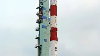
The upcoming launch of GISAT-1A, also known as EOS-05, is one of the Indian Space Research Organisation's (ISRO) most anticipated missions. Scheduled for early September 2026, this launch is a second attempt to place a state-of-the-art imaging satellite
into geostationary orbit after its predecessor, GISAT-1 (EOS-03), was lost during a launch failure in August 2021. That mission failed when the GSLV rocket's cryogenic upper stage did not ignite, preventing the satellite from reaching its intended orbit. The new mission carries the weight of that past setback but also the promise of a crucial national capability. A successful launch would not only be a technical achievement but would also fill a strategic gap in India's observation abilities.
The Advantage of a Fixed Gaze
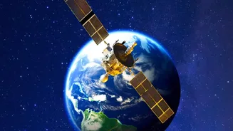
What makes the GISAT series special is its orbit. Unlike most Earth observation satellites that circle the planet in low-Earth polar orbits and see a specific location for only a few minutes a day, GISAT-1A is designed for a geostationary orbit. At an altitude of nearly 36,000 kilometres, it will move at the same speed as the Earth's rotation, allowing it to remain seemingly fixed over the Indian subcontinent. This provides a persistent, near real-time watch. The satellite is expected to be able to image a selected area every five minutes and the entire Indian landmass every half-hour with a resolution of about 42 metres. This 'camera on a very tall pole' approach is a game-changer for monitoring rapidly unfolding events.
Transforming Disaster Management
For a country prone to natural disasters like cyclones, floods, and forest fires, this constant monitoring is invaluable. Events that can change within hours require a satellite that doesn't just pass by but stays to watch. Current remote sensing satellites provide crucial data, but a geostationary imager can track the development of a cyclonic storm, monitor floodwaters as they rise, or spot the spread of a forest fire in near real-time. This capability allows authorities to issue faster, more accurate warnings, plan evacuations more effectively, and direct response teams to the areas of greatest need with unprecedented speed. By observing cloud patterns, ocean conditions, and land changes continuously, GISAT-1A can significantly enhance India’s disaster preparedness and response mechanisms.
Beyond Disasters: Agriculture and Security
The satellite’s applications extend far beyond emergency response. In agriculture, its multi-spectral and hyper-spectral imaging can monitor crop health, detect stress from pests or lack of water, and help estimate yields with greater accuracy over large areas. This data is vital for ensuring food security and for the millions of farmers whose livelihoods depend on it. Furthermore, the ability to keep a constant watch over India’s vast land and sea borders provides a significant strategic advantage. It can be used to monitor troop movements, detect unauthorised activities, and enhance overall situational awareness for security forces. This makes GISAT-1A a dual-use satellite, serving both civilian and strategic purposes.
The Future of India's Earth Observation
The GISAT-1A mission is part of ISRO's broader strategy to enhance its Earth observation capabilities, which are already among the most advanced in the world. India operates a large constellation of satellites for resource management, cartography, and meteorology. The successful deployment of GISAT-1A would add a powerful new dimension to this network. The launch comes after ISRO paused operations for about seven months following a few mission setbacks, making this flight a critical test of the agency's resilience and the reliability of its GSLV rocket. A success would restore momentum and reaffirm ISRO’s position as a leading space power.