


The Promise of Blue Carbon
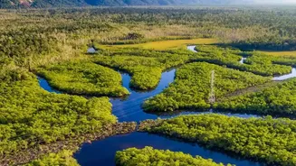
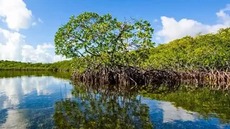
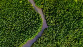
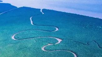
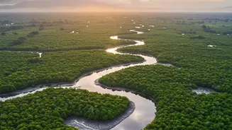
First, what exactly is 'blue carbon'? The term refers to the immense amount of carbon dioxide captured and stored by coastal and marine ecosystems like mangroves, seagrasses, and tidal marshes. Mangrove forests, such as the Sundarbans, are particularly
effective, capable of sequestering carbon at a rate up to five times greater than terrestrial forests. They trap it not just in their branches and leaves, but deep within their dense root systems and the waterlogged soil below, where it can remain locked away for centuries. This makes protecting and restoring them one of the most powerful nature-based solutions for climate change mitigation.
A Treasure Under Immense Pressure
The Sundarbans, the world's largest contiguous mangrove forest, is a UNESCO World Heritage site that supports millions of livelihoods and protects coastlines from storm surges. However, this ecosystem is facing severe threats from rising sea levels, increased salinity, cyclones, and human pressures like deforestation. Traditionally, monitoring the health of this vast, remote, and often inaccessible delta has been a monumental challenge. Field surveys are expensive, hazardous, and time-consuming, making it nearly impossible to get a comprehensive and timely picture of the forest's condition. Without accurate data, it's difficult to manage conservation efforts effectively or quantify the forest's carbon-storing capacity.
An Eye in the Sky Solution
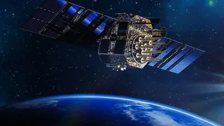
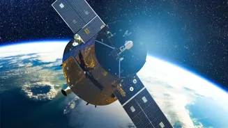
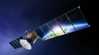
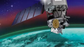
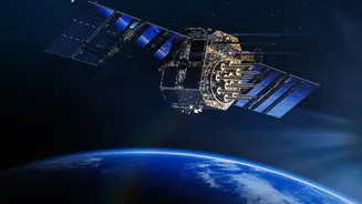
This is where satellite-based mapping and remote sensing become game-changers. These technologies provide a cost-effective way to monitor vast and remote areas continuously. Instruments on satellites can see through clouds and capture high-resolution imagery that provides a wealth of information. Technologies like Synthetic Aperture Radar (SAR) and LiDAR can measure forest structure, including canopy height and biomass, which are crucial for estimating carbon content. Optical sensors, like those on the Landsat satellites, track changes in the extent of the mangrove cover over decades, helping scientists identify deforestation hotspots and areas of regrowth.
From Pixels to Actionable Insights
So, how does this work in practice? By analysing satellite data, researchers can accurately map the extent of mangrove forests, distinguish between different species, and even assess their health. Using advanced models and machine learning algorithms, this data can be translated into reliable estimates of above-ground biomass and, by extension, the total carbon stored. This ability to quantify carbon stocks is the bedrock of blue carbon projects. It allows project developers to generate credible carbon credits, where one credit typically represents one tonne of CO2 removed from the atmosphere. Furthermore, near real-time monitoring helps detect degradation or illegal clearing, allowing for rapid management responses.
Fueling a Sustainable Future
The ultimate goal of these high-tech measurements is to unlock climate finance. Accurate, verifiable data on carbon sequestration builds trust and credibility in the carbon market. Companies and nations looking to offset their emissions can purchase these blue carbon credits, generating revenue. For Sundarbans projects, this is crucial. The funds can be channelled back into conservation activities and, importantly, support the local communities who depend on the forest. This creates a powerful, self-sustaining cycle: protecting the mangroves generates income, which provides local communities with alternative livelihoods beyond resource extraction, which in turn leads to better long-term stewardship of the forest. By providing the essential data for verification, satellite tools are making this vision for a sustainable Sundarbans a concrete reality.