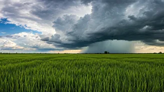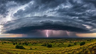


Where the Monsoon Stands Now
The India Meteorological Department (IMD) has confirmed that the Northern Limit of Monsoon (NLM)—the imaginary line marking its leading edge—is pushing deeper into the country. As of the latest updates, the monsoon has completely covered the state of Odisha
and has made significant inroads into Maharashtra. This steady, if not rapid, progression is a crucial development, signalling a shift in weather patterns that will affect millions. The monsoon's journey began with its onset over Kerala and has since been marching northwards, bringing rainfall to the southern peninsula and now advancing into central and eastern regions.
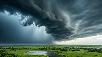
Focus on Maharashtra: Relief and Readiness
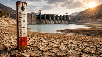
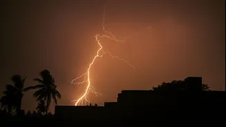
In Maharashtra, the monsoon has advanced into several parts, including the commercial capital, Mumbai. The arrival of pre-monsoon and now monsoon showers has brought a welcome respite from the oppressive heat and humidity that gripped the city. For the state, this advance is critical. Water levels in major reservoirs that supply cities like Mumbai and Pune were at concerningly low levels. A healthy monsoon is vital to replenish these water sources, ensuring drinking water supply for the year ahead. Furthermore, the state's vast agricultural belts, particularly in Vidarbha and Marathwada, are heavily dependent on these seasonal rains for the crucial Kharif sowing season. Farmers have been eagerly awaiting the monsoon's arrival to begin planting crops like cotton, soybean, and pulses.
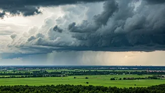
Odisha's Outlook: Kharif Hopes Pinned on Rains
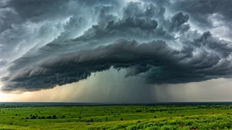
For Odisha, the news is even more definitive: the southwest monsoon has now covered the entire state. This complete coverage is a significant milestone, setting the stage for widespread agricultural activities. The state’s economy is heavily reliant on agriculture, with paddy being the principal crop. The timely arrival and steady spread of the monsoon are a positive sign for a productive Kharif season. However, with the arrival of the monsoon comes the risk of heavy rainfall and potential flooding, particularly in coastal and low-lying areas. State authorities are typically on alert during this period to manage water resources and respond to any weather-related emergencies.
Is This Year's Progress 'Normal'?
Every year, the monsoon's timing and intensity are closely watched. While this year's advance is being described as 'steady,' it aligns broadly with the IMD's long-range forecasts, which predicted a slightly delayed onset in some parts but an overall 'above-normal' season for the country. The current conditions—with the monsoon covering Odisha and progressing through Maharashtra—are considered favourable for its further advance into more parts of Gujarat, Madhya Pradesh, and Chhattisgarh in the coming days. Meteorologists look for strong westerly winds and the development of low-pressure systems over the Bay of Bengal, which help 'pull' the monsoon further inland. So far, these conditions appear to be developing as expected.
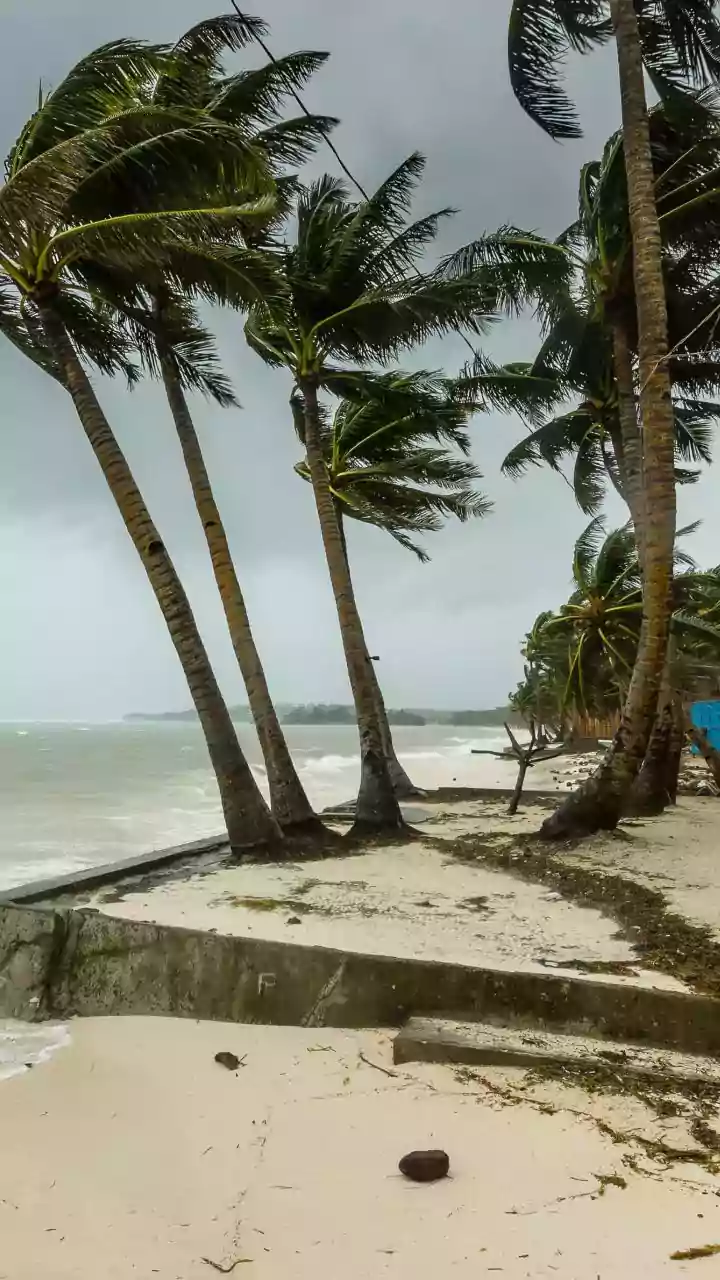
What to Expect Next: Forecasts and Alerts
With the monsoon now active over these states, residents should prepare for more consistent rainfall. The IMD has issued alerts for heavy to very heavy rainfall in isolated pockets along the Konkan coast, including Mumbai, as well as in parts of Odisha. These alerts, often colour-coded as yellow (be aware) or orange (be prepared), advise citizens to take precautions. For urban dwellers, this means anticipating potential waterlogging and traffic disruptions. For those in rural and coastal areas, it means staying informed about warnings for strong winds and rough sea conditions. The next one to two weeks will be crucial in determining the monsoon's performance and its subsequent journey across the northern plains.