


The Science of Seeing Earth
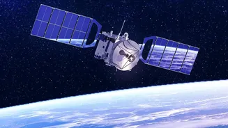
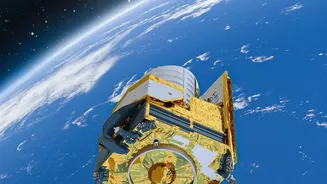
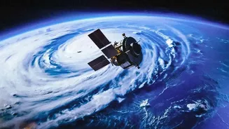
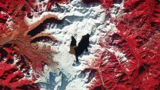
Earth-observation satellites are packed with advanced sensors designed to see more than the human eye. They orbit the planet, repeatedly scanning its surface and atmosphere. Optical sensors work like powerful digital cameras, capturing images in visible
and infrared light to assess things like vegetation health. Other instruments, like Synthetic Aperture Radar (SAR), are game-changers because they use radio waves to see right through clouds and can operate day or night. This is crucial for monitoring events in cloudy tropical regions or during monsoon season. By comparing images taken over days, months, or even decades, scientists can detect and measure changes with remarkable precision, a technique known as change detection. This consistent, long-term record is vital for understanding everything from slow-moving trends to sudden disasters.
Mapping Floods in Near Real-Time
When floods strike, getting a clear picture of the affected area is a top priority for disaster response. Satellites are uniquely equipped for this task. During monsoons, when cloud cover often blinds optical satellites, SAR technology becomes indispensable. By sending out radar pulses and measuring the echoes, SAR satellites can distinguish water from land with high accuracy, mapping the full extent of an inundation. In India, organisations like ISRO use satellites such as the jointly developed NASA-ISRO SAR (NISAR) to provide crucial data during flood events. For example, during severe flooding in Assam, NISAR has been able to capture detailed imagery of the Brahmaputra river system, helping disaster managers track erosion, identify inundated regions, and understand how the powerful river shifts its course. This information helps authorities plan evacuations and deploy resources more effectively.
An Unblinking Eye on Our Forests
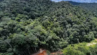
Forests are vital for biodiversity and regulating the climate, but monitoring them on the ground is a monumental task. Satellites provide a consistent and objective way to track deforestation and forest health on a global scale. By analysing changes in vegetation indices—measurements derived from how plants reflect different wavelengths of light—scientists can identify areas where forest cover has been lost or degraded. This allows for early detection of activities like illegal logging, agricultural expansion into forests, and the impact of wildfires. Comparing images from different times reveals where forests are being cleared for palm oil plantations or cattle ranching. This data is not just for scientists; it's used for carbon accounting, enforcing conservation policies, and empowering local organisations to protect their natural resources.
Documenting a Planet in Motion
Beyond floods and forests, satellites chronicle a wide array of other landscape changes that show how our world is evolving. The long-term, uninterrupted data from programs like the Landsat series allows scientists to study gradual processes that would otherwise be hard to quantify. This includes the retreat of Himalayan glaciers, which is a critical indicator of climate change and has major implications for water resources in South Asia. Satellites also track urban sprawl, showing how cities are expanding and paving over previously green areas, which can impact local climate and increase flood risk. They can monitor coastal erosion, soil degradation, and the shifting courses of mighty rivers. This vast repository of information provides an essential baseline for understanding the long-term impacts of both human activity and natural processes on the planet.