







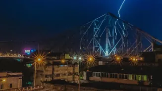
The Latest on Cyclone Akvan
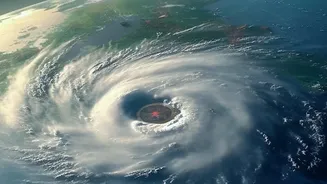
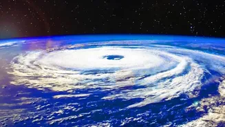
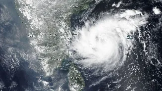
As of November 18, Cyclone Akvan is a severe cyclonic storm located over the Bay of Bengal. According to the IMD, it has been moving slowly but is expected to continue strengthening. The current forecast predicts it will become a 'very severe cyclonic storm'
by November 19 and make landfall along the Andhra Pradesh coast on November 20. The expected impact zone is between Nellore and Tuni, with wind speeds potentially reaching 120-130 kmph and gusting up to 145 kmph. The IMD has issued an 'orange' alert for the Andhra Pradesh and adjoining south Odisha coasts, warning of extremely heavy rainfall and potential storm surges.
Why Cyclone Tracks Are So Hard to Predict
Forecasting the precise path of a cyclone is one of meteorology's biggest challenges. A cyclone's movement is not self-propelled; it is steered by large-scale wind patterns in the atmosphere, often called 'steering currents'. These currents, along with the position and strength of high- and low-pressure systems, guide the storm. However, these systems are dynamic and constantly shifting. A cyclone's own intensity also plays a role. A stronger, taller storm is influenced by winds at higher altitudes than a weaker one, which can change its path. This interplay of factors is why different weather models can produce a range of possible tracks, leading to what forecasters call uncertainty.
Understanding the 'Cone of Uncertainty'
You have likely seen the 'cone of uncertainty' on forecast maps. This cone does not show the size of the storm. Instead, it represents the probable track of the cyclone's center. The cone is wider further into the future because forecast errors naturally increase over time. Historically, the center of the storm stays within the cone about two-thirds of the time. This means there is also a one-in-three chance it could track outside the cone. It's crucial to remember that a storm's impacts—like heavy rain, strong winds, and storm surge—can extend hundreds of kilometres from the center, reaching areas well outside the cone.
How Cyclones Get Their Names
A storm is given a name only when it intensifies into a cyclonic storm, with wind speeds of at least 62 kmph. The IMD, as the Regional Specialised Meteorological Centre for the North Indian Ocean, assigns the name. The names are not chosen at random. They are taken sequentially from a list created by 13 member countries of the WMO/ESCAP panel, including India, Iran, and Bangladesh. The name 'Akvan' was contributed by Iran and was next on the list after the recent Cyclone Murasu. This system of short, distinct names helps in clear communication and raises public awareness, preventing confusion when multiple systems are active.
How to Stay Informed and Safe
In a situation with an evolving forecast, relying on credible information is paramount. The most reliable source for updates on Cyclone Akvan is the India Meteorological Department (IMD). Their website and official social media channels provide the latest bulletins, warnings, and track information. Avoid spreading unverified news or rumours from WhatsApp and other social media platforms. Pay close attention to advisories issued by national and local disaster management authorities. For those in the alerted regions of Andhra Pradesh, Odisha, and Tamil Nadu, this means preparing for heavy rains and strong winds as advised by officials. Following official guidance is the best way to ensure safety for yourself and your community.