


More Than Just a Pretty Picture
When we think of satellites, we often picture the weather maps on the evening news or stunning images from Google Earth. For a long time, Earth observation was mostly passive, like taking a photograph from very, very far away. These images were revolutionary,
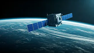
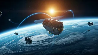
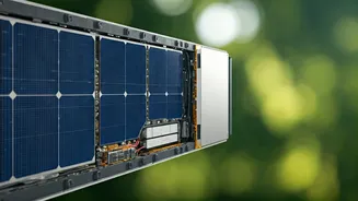
but they had limits. They could show us where a hurricane was, but not precisely how much water it held. They could reveal deforestation, but not the exact amount of carbon lost from the soil. The new generation of satellites has changed the game entirely. Instead of just taking pictures, they are active surveyors, armed with advanced radar, lasers, and spectrometers. They don't just see the planet; they measure it with astonishing precision, turning the entire globe into a dynamic, data-rich laboratory.
Hunting the Invisible Enemy: Methane
Carbon dioxide gets most of the headlines, but methane is a greenhouse gas over 80 times more potent in the short term. The problem? It's invisible, and finding the source of a leak—from a specific oil well, pipeline, or even a landfill—has been incredibly difficult. Next-gen satellites are our new super-sniffers in the sky. Missions like MethaneSAT are designed to map and measure methane pollution across the globe with a precision that was once unthinkable. They can pinpoint major emission sources, allowing companies and governments to be held accountable. This isn't just about tracking; it's about action. By identifying the biggest polluters in near real-time, we can finally plug the leaks on a gas that is rapidly warming our planet.
A Global Stocktake of Water
For a country like India, where water is life, understanding our freshwater resources is critical. From Himalayan glaciers to the deltas of the Ganga and Brahmaputra, water levels are in constant flux. The SWOT (Surface Water and Ocean Topography) satellite, a recent NASA mission, is a game-changer for hydrology. For the first time, it's measuring the height of nearly all water on Earth’s surface, providing a comprehensive view of our rivers, lakes, and reservoirs. This isn't just an image; it's a 3D measurement of our planet's plumbing. This data helps us better predict floods, manage droughts, and understand how climate change is affecting the water supplies that millions depend on for drinking, farming, and industry.
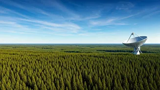
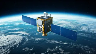
India's Role with the NISAR Mission
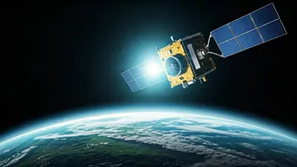
India is at the forefront of this revolution with the upcoming NISAR (NASA-ISRO Synthetic Aperture Radar) mission. A landmark collaboration between NASA and the Indian Space Research Organisation (ISRO), NISAR will be one of the most advanced Earth-imaging satellites ever built. Using two different radar frequencies, it will produce exceptionally high-resolution images of Earth’s surface, measuring changes as small as a centimetre. This will allow scientists to monitor everything from the slow creep of a glacier and the subtle sinking of land in our cities (subsidence) to changes in agricultural patterns and the health of our forests. NISAR will provide a consistent, all-weather stream of data critical for managing natural disasters and resources across the subcontinent.
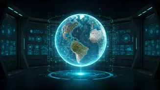
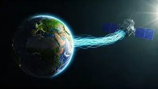
From Raw Data to Real-World Action
This firehose of new data is incredibly powerful, but its true value lies in how it's used. Climate scientists are feeding this information into models to make more accurate predictions about future weather patterns and sea-level rise. Environmental groups are using it to hold polluters accountable. City planners can use subsidence data to build safer infrastructure, and agricultural bodies can use soil moisture data to advise farmers. The sheer volume and detail of this information is creating a new era of transparency. We are moving from broad estimates to precise, actionable intelligence. This doesn't solve climate change on its own, but it removes the excuse of ignorance.