



The Himalayan Monsoon Dilemma
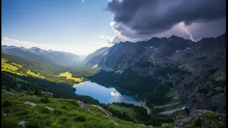
Every year, from July to September, the Indian monsoon sweeps across the Himalayas, turning lush valleys greener but also bringing significant risks. Heavy rainfall saturates the soil, leading to frequent landslides that can block highways for hours or even
days. Rivers swell, water crossings on roads become treacherous, and flash floods pose a constant threat, particularly in popular destinations like Himachal Pradesh and Uttarakhand. This makes planning a road trip a gamble, as journeys can be disrupted and dangerous. The very roads that lead to spectacular views become zones of high unpredictability, stranding travellers and putting vehicles at risk.
Understanding the Rain-Shadow Effect
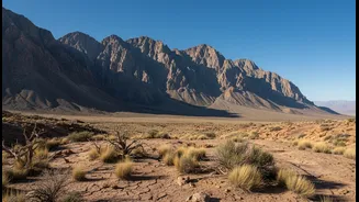
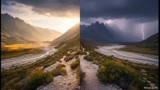
This is where a bit of geographical knowledge becomes a traveller's best tool. The 'rain shadow' is a dry area on the leeward side of a mountain range—the side sheltered from prevailing winds. In India, moisture-laden monsoon clouds move from the south and are forced upward by the towering Himalayas. As the air rises, it cools and releases its moisture as heavy rain on the windward (southern) side of the mountains. By the time this air crosses the high peaks, it has lost most of its moisture. As it descends on the other side, it warms up and becomes even drier, creating a stark, arid landscape. Spiti Valley is located in one such rain shadow.
Spiti: A High-Altitude Desert in the Monsoon
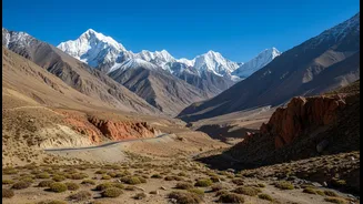
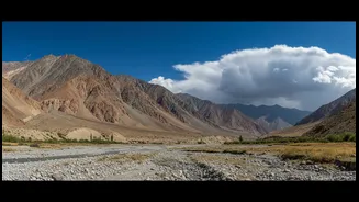
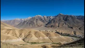
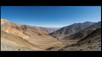
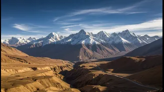
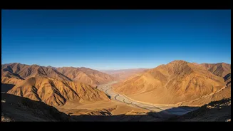
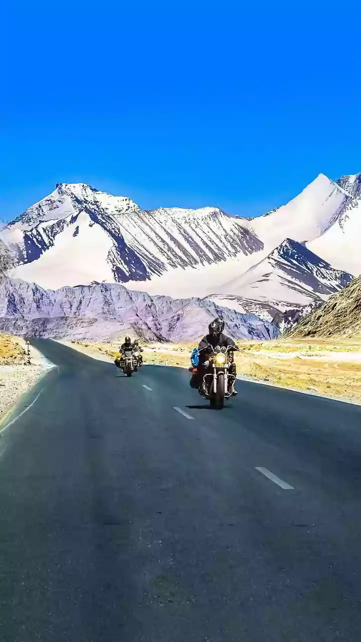
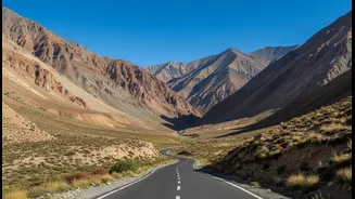
Because Spiti lies behind the main Himalayan and Pir Panjal ranges, it is shielded from the full force of the monsoon. This is why it’s classified as a high-altitude cold desert, receiving minimal rainfall even when the rest of Himachal Pradesh is drenched. While areas like Shimla and Manali get heavy showers, Spiti enjoys mostly dry, sunny days with clear blue skies during July and August. This makes it one of the few accessible and pleasant Himalayan destinations during the peak monsoon season, offering a unique opportunity for adventure when other regions are best avoided.
The 'Map' Is Your Route Plan, Not a Download
Smart travellers don't use a literal, downloadable "rain-shadow map." The 'map' is their understanding of this geography, applied to their route planning. The crucial insight is that while Spiti itself is dry, the roads to get there are not. There are two main routes, and their safety during monsoon differs greatly. The Manali-Kaza route is shorter but riskier. It involves crossing the high-altitude Kunzum Pass (4,590m) and a notoriously difficult stretch between Gramphu and Kaza, which is prone to slush and water crossings. The Shimla-Kinnaur-Kaza route is longer but generally considered more stable. It follows the Sutlej river and travels for a longer duration within the drier rain-shadow zone, avoiding the highest, most rain-affected passes. For first-timers or those prioritising safety, the Shimla route is the highly recommended choice for a monsoon trip.
Beyond the Route: Other Smart-Travel Essentials
Using rain-shadow knowledge to pick your route is the first step. The next is meticulous planning. Since the approach roads are still vulnerable, it is crucial to build buffer days into your itinerary. A single landslide can cause a delay of several hours, and a tight schedule can ruin a trip. Always check the daily road status with official sources like the Lahaul & Spiti district administration before you travel. Acclimatisation is also non-negotiable. The gradual ascent of the Shimla route helps your body adjust to the high altitude, reducing the risk of Acute Mountain Sickness (AMS). No matter the route, carry essentials like extra water, snacks, a first-aid kit, warm layers for the cold nights, and downloaded offline maps, as network connectivity is unreliable.