

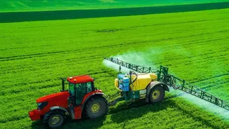

See Crop Stress Before It Spreads
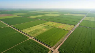
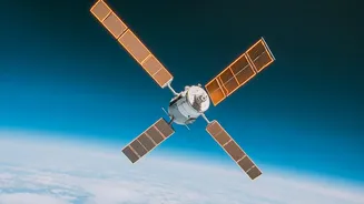
One of the most powerful tools provided by satellites is the ability to monitor crop health in near real-time. Using special cameras, satellites measure how plants reflect light, particularly in the near-infrared spectrum. This data is used to create
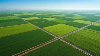
a Normalized Difference Vegetation Index (NDVI) map. Healthy, dense vegetation shows up as a vibrant green, while stressed plants appear yellow or red. This allows farmers to detect issues like nutrient deficiencies, pest attacks, or disease outbreaks in specific patches of their field, often weeks before the damage becomes visible on the ground. This early warning system enables precise, targeted interventions, saving healthy crops from potential damage and reducing the need for broad, preventative spraying.
Optimise Every Drop of Water
Water is a precious and often costly resource in Indian agriculture. Satellite imagery helps farmers implement precision irrigation. By analysing soil moisture data and plant health, satellites can pinpoint exactly which parts of a field are thirsty and which are adequately hydrated. This moves farmers away from uniform, schedule-based watering to a data-driven approach. The result is significant water conservation, lower pumping costs, and healthier plants that are neither overwatered nor underwatered. For a country facing increasing water scarcity, this technology is a game-changer for sustainable farming.
Apply Fertilisers More Intelligently
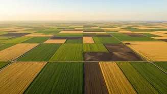
Just as with water, fertiliser is often applied uniformly across a field, even though soil quality and crop needs can vary significantly from one spot to another. Satellite-derived maps, like NDVI maps, highlight the variability within a single field. These insights allow for Variable Rate Application (VRA) of fertilisers. Instead of a blanket approach, farmers can apply more nutrients to underperforming zones and less to areas that are already thriving. This not only saves a considerable amount on fertiliser costs but also improves nitrogen use efficiency and prevents environmental damage caused by nutrient runoff.
Forecast Yields with Higher Accuracy
For generations, farmers have relied on experience to estimate their harvest size. Today, satellites add a layer of scientific accuracy to yield prediction. By tracking the density and health of the crop canopy throughout the growing season, analytical models can forecast the final output with increasing precision. This information is invaluable for farmers, helping them to better plan for storage, negotiate prices with buyers, and make strategic decisions for the upcoming season. Government agencies and agribusinesses also use this data to understand regional production trends and manage food security.
Unlock Better Financial Services
A surprising benefit of satellite data is improved access to credit and insurance. For banks and insurance companies, assessing risk for smallholder farms has always been a challenge due to a lack of verifiable data. Satellite imagery provides that proof. It can verify what crop was sown, confirm the acreage, and accurately assess damage after a natural disaster like a flood or hailstorm. This digital, transparent record of a farm’s performance makes farmers more credible borrowers and speeds up insurance claim settlements, providing a crucial financial safety net.
How to Access This Technology
The good news is that this technology is no longer just for large corporations. A growing number of agritech startups and government initiatives in India are making satellite intelligence accessible to all. Companies like CropIn, DeHaat, and platforms from ISRO provide mobile apps and services that translate complex satellite data into simple, actionable advice for farmers. These platforms often combine satellite imagery with weather forecasts and agronomy advisory, creating a comprehensive digital toolkit that can be accessed from a smartphone.