





Our Watchful Guardians in Orbit
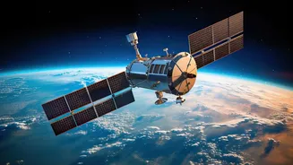
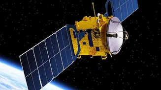
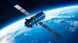
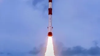
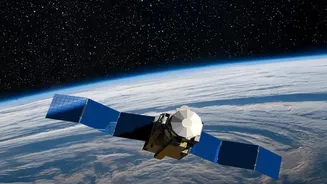
High above the Earth, a constellation of Indian satellites is constantly at work. These are not just any satellites; they are Earth Observation (EO) satellites, managed by the Indian Space Research Organisation (ISRO). Their mission is to provide a continuous,
detailed view of our planet's land, atmosphere, and oceans. This capability is fundamental to modern disaster management. India, with its vast and diverse geography, is vulnerable to a range of calamities, from floods and cyclones to landslides and droughts. Satellites like the INSAT, Resourcesat, and Cartosat series are designed to capture a wide array of data, serving as the backbone of a sophisticated, technology-driven approach to disaster preparedness.
Before Disaster Strikes: The Power of Prediction
The most effective way to mitigate a disaster is to see it coming. This is where EO satellites excel. For cyclones brewing over the Bay of Bengal or the Arabian Sea, meteorological satellites like INSAT-3DR and Oceansat provide invaluable data on cloud formation, wind speed, and sea surface temperatures. This information allows the India Meteorological Department (IMD) to accurately predict a cyclone's intensity, track, and expected landfall, enabling timely warnings and mass evacuations that save thousands of lives. Similarly, for droughts, satellites monitor vegetation health and soil moisture over vast agricultural belts, giving authorities early indications of water stress and allowing for proactive intervention.
During the Crisis: Real-Time Situational Awareness
When a disaster is unfolding, chaos on the ground can make it nearly impossible to get a clear picture of the situation. Satellites cut through this fog of uncertainty. Radar imaging satellites, such as the RISAT series, are particularly powerful because they can see through clouds and darkness, a crucial advantage during heavy monsoons and cyclonic storms. They provide near real-time mapping of flood inundation, showing exactly which villages are cut off and which roads are submerged. This intelligence is relayed directly to agencies like the National Disaster Management Authority (NDMA) and State Disaster Management Authorities (SDMAs), who use it to guide rescue teams, airdrop supplies, and prioritize relief efforts for those most in need.
The Aftermath: Assessing Damage and Planning Recovery
Once the immediate danger has passed, the long road to recovery begins. High-resolution satellite imagery from spacecraft like Cartosat becomes indispensable in this phase. By comparing pre- and post-disaster images, officials can rapidly assess the extent of damage to homes, infrastructure like roads and bridges, and agricultural lands. This data is vital for a swift and accurate damage assessment, which informs the scale of relief packages and helps prioritize reconstruction projects. This space-based view ensures that aid is allocated efficiently and that rebuilding efforts are focused where they are most urgently required.
A Coordinated National Effort
The technology itself is only one part of the equation. Its effectiveness lies in a well-oiled system of coordination. ISRO and its National Remote Sensing Centre (NRSC) work in close partnership with the NDMA and other central and state agencies. Data flows from the satellites to data processing centers and is then disseminated through dedicated portals like Bhuvan and the National Database for Emergency Management (NDEM). This seamless flow of information ensures that actionable intelligence reaches the decision-makers on the ground promptly. Furthermore, India is an active member of international frameworks like the International Charter 'Space & Major Disasters', sharing its satellite capabilities to assist other nations and leveraging global assets when needed.