



The View from Above
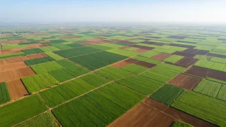
For centuries, farming has been a hands-on, ground-level profession. Farmers walked their fields, relying on experience and intuition to spot trouble. But with fields stretching over vast areas, manual inspection is time-consuming and often reactive.
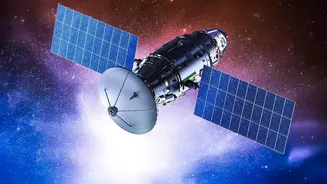
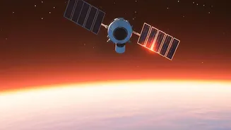
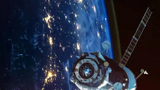
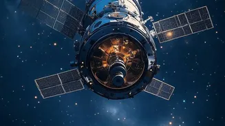
Remote sensing technology changes this by providing a bird's-eye view. Satellites equipped with advanced sensors continuously capture images of farmland, offering a comprehensive and consistent look at agricultural landscapes that would be impossible to achieve from the ground. This allows for the monitoring of millions of fields at once, transforming farm management from a localised effort to a data-driven science.
Decoding What Satellites See
Satellites don't just take simple pictures; they capture data across different wavelengths of light, including those invisible to the human eye. A key tool used in this process is the Normalized Difference Vegetation Index, or NDVI. In simple terms, NDVI measures a plant's 'greenness'. Healthy plants are rich in chlorophyll, which absorbs red light for photosynthesis and strongly reflects near-infrared (NIR) light. Stressed or unhealthy plants do the opposite. By calculating the ratio between the reflected red and NIR light, satellites can generate a clear index of vegetation health. A high NDVI value indicates a thriving, dense canopy, while a low value can be an early warning sign of distress.
Practical Benefits on the Farm
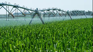
This data isn't just for analysis; it provides actionable insights that directly impact a farmer's bottom line. One of the biggest advantages is the early detection of stress. Before a farmer can physically see yellowing leaves, satellite data can flag issues like pest infestations, nutrient deficiencies, or disease outbreaks. This allows for targeted intervention, applying pesticides or fertilisers only where needed, which saves money and reduces environmental impact. Furthermore, satellite imagery helps with water management by identifying areas suffering from water stress, enabling optimised irrigation schedules. This precision approach, often called 'smart farming', boosts efficiency, improves yield predictions, and ultimately makes farming more resilient.
Making High-Tech Accessible
For years, this technology was complex and expensive, largely confined to government agencies and large corporations. However, a growing ecosystem of agritech startups in India is changing that. Companies like CropIn, Fasal, and AgriBhumi are developing platforms that translate complex satellite data into easy-to-understand reports and alerts for farmers. These services, often delivered through mobile apps, provide farmers with field-specific advice on everything from irrigation to pest control. This democratisation of data is crucial for India's agricultural sector, which is dominated by smallholder farms. By providing affordable and accessible tools, these companies empower individual farmers to make smarter, proactive decisions.
Challenges and the Road Ahead
Despite its immense potential, the adoption of satellite technology in Indian agriculture faces hurdles. Poor rural internet connectivity can limit access to data-heavy mobile services. Another challenge is translating complex data like NDVI maps into simple, actionable advice that a farmer can use without expert help. Building institutional capacity and training agricultural extension workers to use these new tools is also critical. However, the push towards integrating satellite information with on-the-ground data is strong. The goal is to create a seamless system where technology supports and enhances, rather than replaces, the farmer's knowledge, ensuring that the benefits of space-age tech reach every corner of rural India.