





The Problem of a Single Perspective
Imagine trying to judge the true color of a wall by looking through sunglasses. You would get a good idea, but the tint of the lenses would subtly alter your perception. Scientific instruments on satellites face a similar challenge. Over time, the harshness
of space—intense radiation and extreme temperature swings—can cause a sensor's performance to drift. This creates a 'measurement bias,' a systematic error that skews the data it collects. A single satellite, operating alone for years, has no independent reference to check if its view of Earth is slowly changing. This is a significant problem when trying to track subtle, long-term trends like climate change. A tiny, uncorrected drift in a sensor measuring sea surface temperature could be misinterpreted as a real-world climate signal, leading to flawed scientific conclusions.
A Tandem Approach to Truth
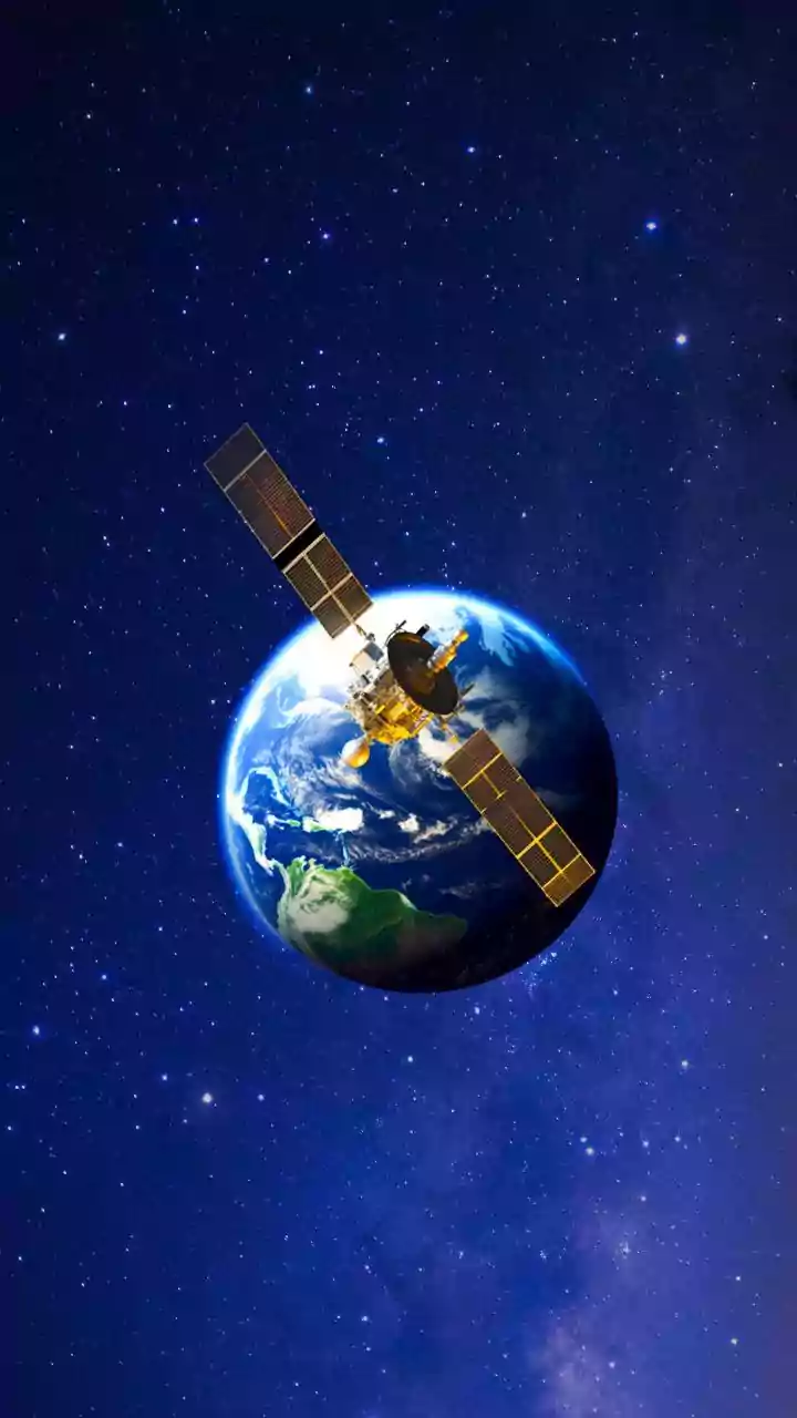
The solution is to have two spacecraft observe the same target from a similar vantage point. This technique, known as tandem flying or intercalibration, is a cornerstone of modern Earth observation. By having two satellites measure the same thing at nearly the same time, scientists can compare the results. If one instrument's readings begin to drift, the discrepancy will show up when compared to its partner. This allows researchers to identify and correct for measurement biases. In some missions, a new, highly accurate satellite is used as an on-orbit reference standard to calibrate older sensors already in space. This approach effectively creates a 'metrology laboratory in space,' ensuring that data from different missions, collected over many years, can be reliably combined into a single, consistent record.
Putting Theory into Practice
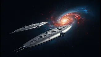
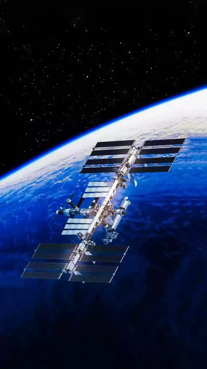
Several missions have successfully used this tandem approach. Germany's TanDEM-X mission, for example, involved two identical radar satellites flying in close formation just a few hundred meters apart. By combining their simultaneous observations, they created a highly precise and globally consistent 3D model of Earth's surface. NASA's CLARREO Pathfinder mission, operating from the International Space Station, is designed to serve as a benchmark reference. It takes highly accurate measurements of reflected sunlight that can be used to calibrate other orbiting sensors, like the CERES and VIIRS instruments, which are critical for weather and climate studies. The goal is to reduce measurement uncertainty to less than 0.3%, a level of precision needed to confidently detect climate variability. This intercalibration improves the consistency and trustworthiness of data from our most important Earth-watching satellites.
Beyond Earth Observation
The principle of using multiple spacecraft extends beyond just looking back at our own planet. NASA's GRAIL mission used two spacecraft, named Ebb and Flow, flying in formation around the Moon. By precisely measuring the tiny changes in the distance between them as they orbited, scientists were able to create an unprecedentedly detailed map of the Moon's gravitational field. This revealed crucial information about the Moon's internal structure. This technique of using relative measurements between two probes provides a level of accuracy that a single spacecraft could never achieve. It demonstrates a powerful principle that can be applied to future missions, such as mapping the oceans on Jupiter's moon Europa or observing the atmospheric cycles on Mars.