





A Silent, Spreading Threat
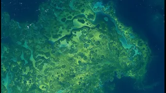
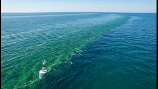
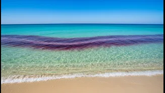
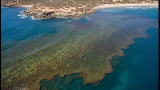
Harmful algal blooms, sometimes known as 'red tides', occur when colonies of microscopic algae grow out of control, producing toxins that can be deadly to marine life and harmful to humans. These blooms are not always red and only a tiny fraction of algal species
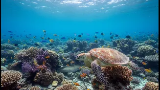
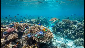
are actually harmful, but when they do bloom, the consequences can be severe. In India, these events are a growing concern along both the west and east coasts, fuelled by nutrient pollution from untreated wastewater and agricultural runoff, as well as rising sea temperatures. These blooms create 'dead zones' by depleting oxygen in the water, leading to massive fish kills and damaging critical ecosystems like coral reefs. For humans, the impact ranges from respiratory issues to severe illnesses from consuming contaminated seafood.
The Current Toolkit: A Blurry Picture
Currently, scientists monitor HABs using a combination of methods, but each has significant drawbacks. Satellite imaging can spot large blooms from space by detecting changes in ocean colour, but cloud cover often obstructs the view. Satellites also struggle to differentiate between toxic and harmless algae or see blooms lurking beneath the surface. The most accurate method is direct water sampling, where scientists analyze the water under a microscope. However, this process is slow, expensive, and provides only a tiny snapshot of a vast and constantly moving ocean. By the time a sample is analyzed, the bloom may have already shifted or intensified, making it difficult for authorities to issue timely warnings.
The Urgent Call for Better Data
The core of the problem is a data gap. To effectively forecast where a bloom will form and where it will travel, scientists need more comprehensive, real-time information. They argue that the current system is too reactive. Warnings often come only after a bloom is established and potentially already causing harm. This is why the scientific community is pushing for an integrated approach—one that combines multiple data sources for a clearer, more predictive picture of the ocean's health. The goal is to move from simply observing blooms to accurately forecasting them, much like a weather report.
A High-Tech Dragnet for a Microscopic Foe
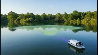
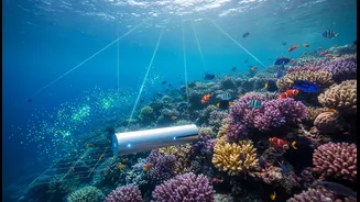
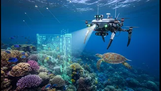
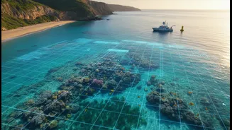
So, what does 'better data' look like? It involves deploying a new generation of technologies. Scientists are developing advanced systems that combine high-resolution satellite imagery with complex models that simulate water currents, predicting how a bloom will move and spread. They are also using autonomous underwater vehicles and sensor-equipped buoys that can collect water quality data continuously. New instruments like the FlowCam can rapidly photograph and identify thousands of algae cells in minutes, a task that would take hours under a microscope. Perhaps most promising is the integration of Artificial Intelligence (AI) and machine learning, which can analyze vast datasets from satellites, sensors, and even citizen-scientist reports to identify patterns and predict HABs days in advance.
Protecting Coasts, Livelihoods, and Health
This push for better data isn't just an academic exercise; it's about public safety and economic stability. Improved forecasting allows for early warnings that can guide the closure of specific beaches and shellfish harvesting areas, protecting public health without shutting down entire coastal economies. In a country like India, where a vast population depends on the coasts for fishing, tourism, and daily life, the ability to anticipate and mitigate the impacts of HABs is crucial. It can prevent economic losses in fisheries and tourism while safeguarding communities from the toxins these blooms can release. Investing in this data infrastructure is a direct investment in the resilience of our coastal communities.