





A Landmark Partnership in Orbit
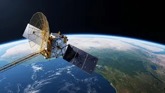
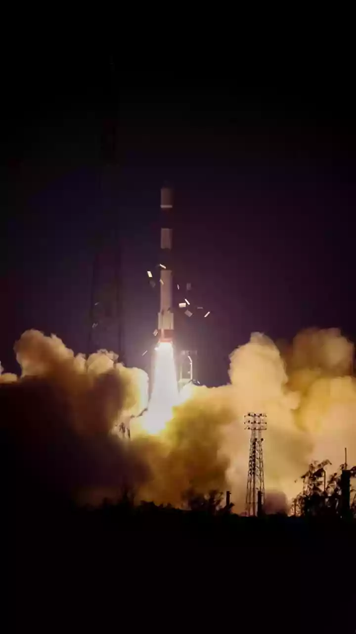
The NASA-ISRO Synthetic Aperture Radar (NISAR) mission is more than just a satellite; it's a testament to a powerful international partnership. Launched in July 2025, this $1.5 billion project is one of the most sophisticated Earth observation satellites
ever built. For the first time, NASA and ISRO have collaborated on developing hardware for a joint mission, combining American and Indian expertise to tackle some of the world's most pressing environmental challenges. Operating from a near-polar orbit about 747 kilometers above Earth, NISAR will map the entire globe every 12 days, generating a treasure trove of data aimed at understanding climate change, natural disasters, and the health of our ecosystems. Its launch marks a significant milestone in India's space program, positioning the nation as a key player in global environmental monitoring.
How NISAR Sees Through Clouds and Forests
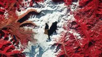
What makes NISAR so powerful is its advanced radar technology. Unlike optical satellites that are blinded by clouds or darkness, NISAR uses Synthetic Aperture Radar (SAR) to get a clear picture day or night, in any weather. It is the first satellite mission to use two different radar frequencies simultaneously: the L-band from NASA and the S-band from ISRO. The lower-frequency L-band can penetrate dense forest canopies to measure the biomass and structure of forests, while the higher-frequency S-band is more sensitive to soil moisture and smaller vegetation. This dual-frequency capability allows the satellite to detect tiny changes in the Earth's surface—as small as a centimeter—providing an incredibly detailed view of processes that were previously difficult to monitor on a large scale.
A New Tool to Tackle India's Water Crisis
One of NISAR's most critical applications for India is its ability to monitor groundwater. The satellite does not see water underground directly. Instead, it measures subtle changes in the ground level, a phenomenon known as subsidence or uplift. When large amounts of groundwater are extracted from aquifers, the land above can sink slightly. Conversely, when aquifers are replenished, the ground can rise. By tracking these tiny movements with high precision, scientists can infer changes in the volume of groundwater reserves across vast regions. This data is invaluable for managing India's stressed water resources, helping authorities understand the impact of over-extraction and make more sustainable decisions for agriculture and urban water supply.
Guarding India's Green Cover
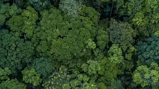
India's forests are vital for biodiversity and climate regulation, and NISAR is set to become a key guardian. The satellite's radar can measure forest biomass, which is the total amount of organic matter, and track changes caused by deforestation or degradation. Because it can see through clouds, it provides consistent monitoring of forest health, even during the monsoon season. The data will help quantify carbon stocks and how they change over time, providing critical information for India's climate goals. With the ability to scan nearly every patch of Indian forest every 12 days, authorities can get a near real-time view of disturbances like illegal logging or the gradual thinning of forests that might otherwise go unnoticed.
Beyond Water and Woods
The applications of NISAR extend far beyond forests and groundwater. Its data will be crucial for disaster management, helping to identify areas at risk of landslides, especially in the fragile Himalayan region. The satellite will also monitor the health of agricultural crops, track the melting of glaciers and ice sheets, and observe land deformation related to earthquakes and volcanic activity. Data from the mission is being made publicly available, allowing scientists, policymakers, and disaster response agencies around the world to use it for research and life-saving applications. This makes NISAR a truly global asset for understanding and protecting our dynamic planet.