




The View from Above
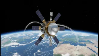
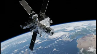
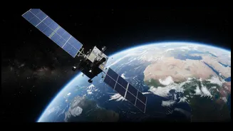
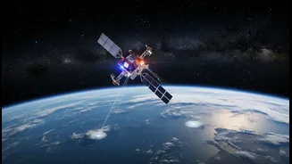
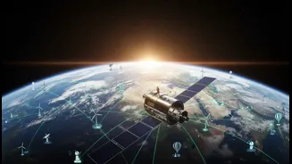
Satellites sparked a revolution in climate science. They gave us the first truly global perspective on Earth's systems, allowing scientists to track atmospheric composition, sea-level rise, and deforestation across vast, inaccessible regions. For the first time,
we could watch the planet breathe. This data has been fundamental to building our understanding of long-term climate trends and creating the climate models we rely on today. Instruments in space have provided decades of continuous observations, forming the backbone of major reports on climate change and helping to monitor everything from polar ice melt to the health of global vegetation.
When the Big Picture Isn't Enough
Despite their power, satellites have limitations. Their distance means they can struggle with fine details; a sensor with a resolution of several hundred metres might miss crucial changes in a diverse landscape. They can't see through dense cloud cover, peer under thick forest canopies, or measure what’s happening deep in the ocean. Furthermore, satellite data requires complex algorithms to interpret, and these can have inherent biases or inaccuracies. The satellite era itself is only about 50 years old, which is a short time when trying to understand climate processes that unfold over centuries. These gaps mean that relying on satellite data alone can sometimes leave crucial questions unanswered.
Eyes on the Ground and In the Sea
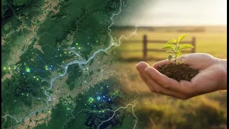
To fill in the details, scientists are turning to a vast network of terrestrial and aquatic sensors. The Global Ocean Observing System (GOOS), for instance, uses a combination of drifting buoys, Argo floats that dive deep, and moored arrays to collect direct measurements of ocean temperature, salinity, and currents. This system is crucial for understanding how much heat the ocean is absorbing and how that affects weather patterns. On land, expanding networks of weather stations and ground sensors provide high-fidelity local data that satellites can’t capture, like soil moisture levels or fine-scale air pollution. This ground-truthing is vital for calibrating and validating the information received from space.
The Flexible Middle Ground: Drones and Aircraft
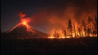
Bridging the gap between the broad view of satellites and the pinpoint accuracy of ground sensors are drones and specialized research aircraft. Unmanned aerial vehicles (UAVs) can be deployed quickly to study specific events with incredible detail. They can fly into hard-to-reach or dangerous areas, such as the plume of a volcano or the calving front of a glacier, providing high-resolution imagery and atmospheric samples. Drones are used to map flood risks, monitor air quality in real-time, and assess the health of individual ecosystems. This ability to gather on-demand, hyperlocal data provides a dynamic layer of information that complements the regular, wide-area coverage from satellites.
The Power of Putting It All Together
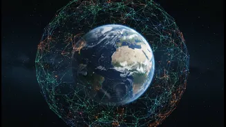
The future of climate research isn’t about choosing one tool over another; it's about integration. The real breakthrough lies in combining the massive datasets from satellites, ground sensors, drones, and ships into a single, cohesive picture. This is where Artificial Intelligence (AI) and machine learning become essential. These powerful computing tools can sift through petabytes of disparate data, identify complex patterns, and fuse information from different sources to create far more accurate and comprehensive climate models. This synergistic approach allows scientists to produce better forecasts, understand local impacts, and develop more effective strategies for mitigation and adaptation.