




Monsoon Mayhem in the Mountains
For most of the Indian Himalayas, the monsoon season from June to September is a period of both lush beauty and significant danger. Moisture-laden winds from the Indian Ocean sweep north, hitting the Himalayan foothills in states like Uttarakhand and Himachal
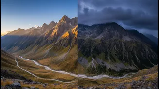
Pradesh. This results in torrential downpours that saturate the soil on steep slopes, leading to frequent and often devastating landslides. For tourists, this means treacherous road conditions, sudden closures of major highways, and the risk of being stranded. Regions like Kullu, Manali, Shimla, and the Char Dham routes in Uttarakhand become notoriously unpredictable, prompting travel advisories that caution against visiting during peak monsoon months.
The Safe Havens of Spiti and Ladakh
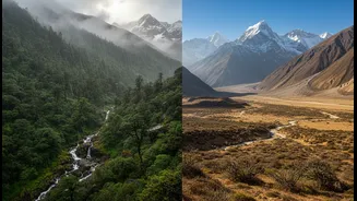
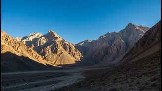
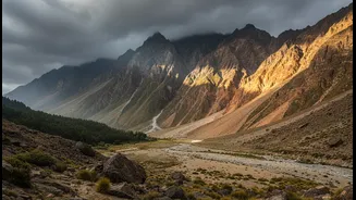
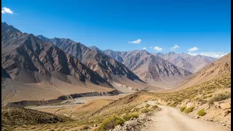
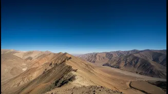
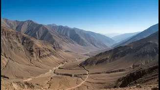
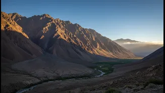
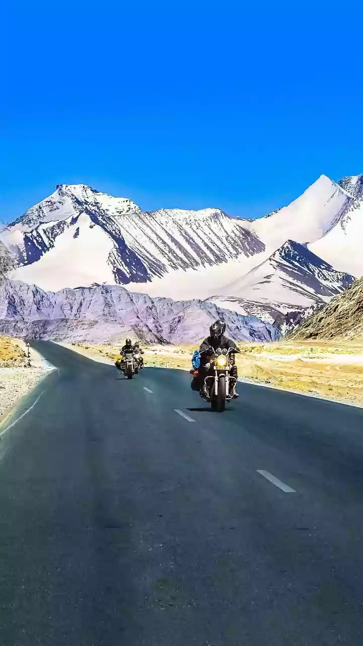
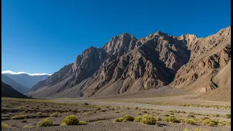
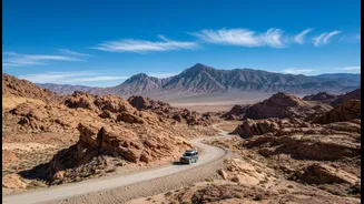
Amid this seasonal chaos, two regions stand apart: Ladakh and the Spiti Valley in Himachal Pradesh. While lower Himachal is being lashed by rain, these trans-Himalayan areas remain remarkably dry, sunny, and accessible, making them prime destinations for monsoon-season travel. It’s a paradox: the wettest time of year for India is the best time of year to visit these cold deserts. This isn't a matter of luck, but of large-scale geography. Both Spiti and Ladakh are located on the leeward side of the Great Himalayan range, placing them in a unique climatic zone known as a rain shadow.
The Science of a Rain Shadow
So what exactly is a rain shadow? Think of a mountain range as a massive wall. When warm, wet winds (like the monsoon) encounter this wall, they are forced to rise. As the air climbs, it cools, and its capacity to hold moisture decreases. This causes the water vapour to condense into clouds and fall as rain or snow on the side of the mountains facing the wind—the windward side. By the time the air mass makes it over the mountain crest and begins to descend on the other side—the leeward side—it has lost most of its moisture. This descending air warms up, further reducing humidity and creating a dry, arid region protected from the rain. This protected dry zone is the 'rain shadow'.
A High-Altitude Desert Shield
The Great Himalayan range is one of the most formidable mountain walls on Earth. It acts as a massive barrier, intercepting the southwest monsoon clouds. As the monsoon system moves north, it dumps its moisture across the plains and foothills of India. The Pir Panjal and Great Himalayan ranges force the clouds to precipitate heavily on their southern, windward slopes. Ladakh and Spiti are situated to the north of these ranges, squarely in the rain shadow. The mountains effectively block the monsoon from reaching them, resulting in a cold desert climate with extremely low annual rainfall. While the rest of the country is drenched, these regions experience clear skies and a dry landscape, shielded from the monsoon's fury.
What This Means For Your Travel Plans
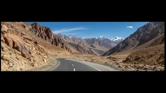
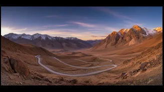
Understanding the rain-shadow effect allows for smarter and safer travel planning. During the Indian monsoon, Ladakh and Spiti are not only safe from rain-induced landslides but are also at their most accessible and vibrant. Roads that are snowbound in winter, like the high passes leading into the regions, are open from roughly June to October. However, it's crucial to remember that while the destinations themselves are dry, the journey there might not be. The approach roads, particularly the Manali-Leh highway, pass through monsoon-affected areas before entering the rain shadow and can still be subject to closures. Flying into Leh is an option that bypasses this risk entirely. Also, while shielded from the monsoon, these high-altitude regions are not entirely free of natural hazards; localised cloudbursts or flash floods from glacial melt can occur, although they are rare compared to the widespread monsoon risk elsewhere.