

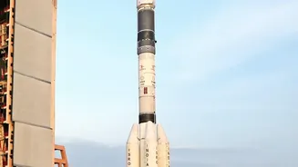
What is the NISAR Mission?
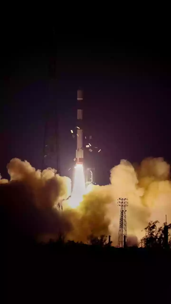
NISAR, which stands for NASA-ISRO Synthetic Aperture Radar, is a sophisticated Earth observation satellite born from a powerful partnership between the American and Indian space agencies. Launched in July 2025, it is the first satellite to use two different
radar frequencies (L-band and S-band) to produce exceptionally detailed images of our planet's surface. Unlike optical satellites that are blinded by clouds or darkness, NISAR's radar can see through these obstacles, providing a consistent and reliable stream of information. By scanning nearly the entire globe every 12 days, it creates a time-lapse view of Earth, capturing changes with remarkable precision—down to a single centimetre. This makes it one of the most advanced and expensive Earth-imaging satellites ever built, designed to monitor everything from earthquakes and volcanic activity to the slow creep of glaciers.
A New Gauge for India's Groundwater
For a nation where agriculture is paramount and water scarcity is a looming threat, understanding groundwater is critical. NISAR offers a revolutionary way to do this. Instead of relying solely on a limited number of ground-based wells, the satellite can monitor vast aquifer systems remotely. It does this by detecting tiny changes in the ground's surface level, a phenomenon known as subsidence. When large amounts of groundwater are extracted, the ground above can sink slightly. By measuring this subsidence with millimetre-level accuracy, NISAR provides a direct indicator of groundwater depletion over huge areas. This data allows water resource managers to identify regions under stress, understand the long-term health of aquifers, and make informed decisions to ensure sustainable water use for farming and communities, helping to prevent the irreversible collapse of these vital underground reservoirs.
Mapping India's Green Canopy
NISAR’s dual-radar system is also a game-changer for monitoring India's forests. The satellite’s L-band radar waves can penetrate through the dense top layer of a forest canopy, bouncing off tree trunks and the ground below. This allows scientists to not only map the extent of forest cover but also to estimate its density and biomass—the total amount of organic matter, which is a key indicator of an ecosystem's health and its capacity to store carbon. Furthermore, the S-band radar provides detailed information on things like soil moisture and agricultural crops. This combined view helps in accurately tracking deforestation, monitoring the success of reforestation efforts, and even detecting hidden water bodies or moisture on the forest floor, which is crucial for managing wetlands and biodiversity.
Why This Data Is a Breakthrough
The data from NISAR isn't just more information; it's a fundamentally different kind of information. Previous satellites provided snapshots, but NISAR delivers a continuous, high-resolution movie of the planet's surface dynamics. Its ability to see day and night, in all weather conditions, fills a critical gap in Earth observation. The 12-day repeat cycle provides a rhythm of data that can track both rapid events, like floods, and slow processes, like ground subsidence from water extraction. This frequency and precision empower scientists to move from reactive analysis to proactive monitoring. For India, this means a better ability to manage resources, prepare for natural hazards, and build resilience in the face of climate change. The data is made freely available, allowing a broad community of researchers and policymakers to turn these advanced observations into actionable insights.