
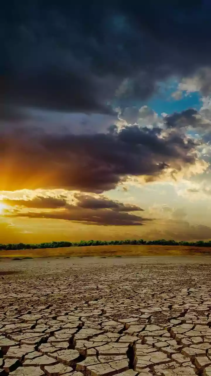


A Planet's Health Check from Orbit
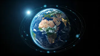
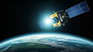
Imagine having a doctor who could monitor a patient's vital signs 24/7 from hundreds of kilometres away. That’s essentially what a growing constellation of Earth-observation satellites is doing for our planet. For decades, agencies like NASA and the European
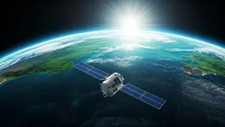
Space Agency (ESA) have been building a continuous record of Earth’s health. Their satellites, like the Sentinel and Landsat missions, are not just taking pretty pictures. They are armed with sophisticated sensors that can measure changes in polar ice thickness, track vast plumes of industrial pollution, and monitor global sea-level rise with millimetre precision. This data is no longer just for scientists. It's become the bedrock of global climate policy, providing undeniable, objective evidence of human impact. When we see alarming reports about deforestation in the Amazon or the rapid melting of Himalayan glaciers, the data often comes from these silent sentinels in orbit. They are our global watchdogs, holding us accountable.
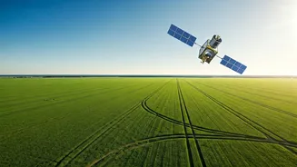
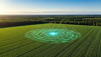
Powering the Future of Farming
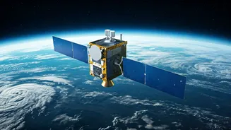
Nowhere is the impact of space technology felt more directly than on the ground, especially in agriculture. India, with its vast agricultural sector, is at the forefront of this revolution. The concept is called 'precision agriculture'. Instead of treating a whole field the same, farmers can use satellite data to manage it on a micro-level. Satellites equipped with special sensors can assess crop health, measure soil moisture, and identify pest infestations before they are visible to the naked eye. India’s own space agency, ISRO, plays a crucial role with its fleet of remote sensing satellites like the RISAT series. This information allows farmers to apply water, fertilisers, and pesticides exactly where they are needed, and only in the required amounts. The result? Higher yields, lower costs, and a significant reduction in environmental runoff. It’s a transition from farming based on tradition and guesswork to farming based on data-driven decisions, making our food supply more resilient and sustainable.
Smarter Cities and Safer Coasts
Beyond the farm, space tech is becoming an indispensable tool for managing our increasingly complex world. Take disaster management. For a country like India with a long coastline vulnerable to cyclones, early and accurate tracking is a matter of life and death. Satellites provide the critical data that powers weather models, giving authorities precious extra hours or even days to evacuate populations. After a disaster, satellite imagery helps map the extent of flooding or damage, guiding rescue teams to the worst-hit areas. ISRO’s Bhuvan web portal, for instance, provides a detailed geospatial platform that aids in everything from urban planning to disaster response. It helps city planners monitor urban sprawl, manage water resources, and identify illegal construction, all contributing to more sustainable and resilient urban environments. This is the unseen infrastructure of modern governance, powered by data from the sky.
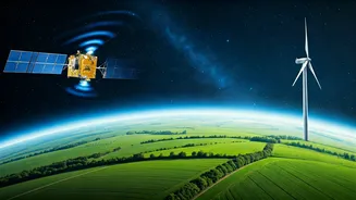
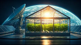
Innovation Trickling Down to Earth
The benefits aren't just limited to satellite data. The extreme challenge of keeping humans alive in space has spurred innovations that have powerful sustainability applications right here on Earth. The need for ultra-efficient solar panels to power spacecraft has accelerated the development of the solar technology we use in our homes. The advanced water recycling systems developed for the International Space Station, capable of turning wastewater into pure drinking water, are now being adapted for use in drought-stricken regions and disaster zones. Even the materials science developed for lightweight, durable spacecraft has found its way into creating more fuel-efficient cars and aeroplanes. This 'trickle-down' effect of space exploration is a quiet but powerful force, proving that reaching for the stars often helps us solve our most pressing problems on the ground.