


The Legend of the Lost Temples
Mahabalipuram, a UNESCO World Heritage site, is famed for its 7th and 8th-century Pallava dynasty monuments. Yet, its most enduring story is one of absence. Mariners and locals have long spoken of the 'Seven Pagodas', a line of magnificent temples so
grand that only one, the Shore Temple, remains on land today. The rest, legend says, were claimed by the ocean. This tale, passed down through generations and even noted by early European travellers, painted a picture of a grander city lost to time and tide. For most of history, however, it remained just that—a powerful myth with little concrete proof.
A Tsunami's Shocking Revelation
The first major crack in the myth came from a catastrophe. When the Indian Ocean tsunami struck in December 2004, the sea off the Mahabalipuram coast briefly pulled back by as much as 500 meters. Eyewitnesses on the shore were stunned to see long, straight rows of large stones and structures emerge from the seabed before the waves crashed back over them. The powerful waters had scoured away centuries of sand and silt, offering a fleeting glimpse of what lay beneath. In the tsunami's aftermath, new structures, including a large stone lion, were left exposed on the beach, giving tantalizing, physical weight to the old stories. Suddenly, the hunt for the lost pagodas was no longer a fanciful quest.
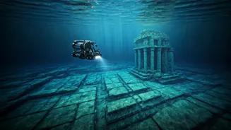
How Sonar Peers into the Past
Following these eyewitness accounts, the Archaeological Survey of India (ASI) and the Indian Navy knew they had to look closer. But how do you map an underwater city hidden beneath the waves? The key technology is sonar. Side-scan sonar, used in these expeditions, works by sending out pulses of sound from a device towed by a boat. These sound waves travel to the seabed and bounce back. Hard objects, like stone walls, produce strong echoes, while sand and silt produce weaker ones. A computer then translates these echoes into a detailed, black-and-white image of the seafloor, revealing the shape, size, and texture of any hidden objects. It’s like creating a highly detailed map in complete darkness, allowing archaeologists to 'see' the ruins without disturbing them.
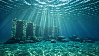
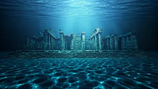
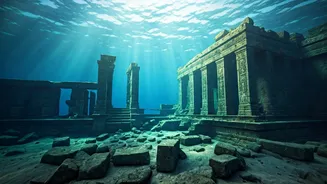
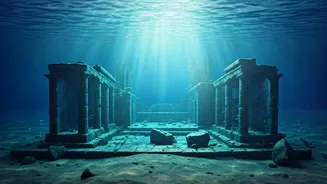
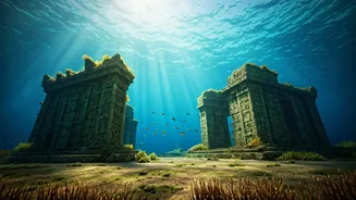
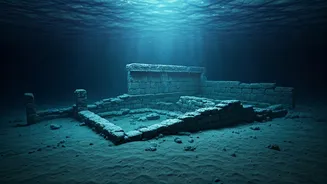
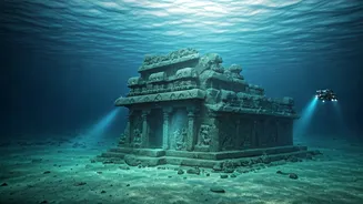
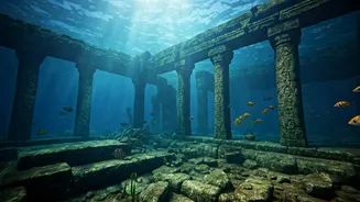
What the Underwater Scans Found
The joint expeditions by the ASI, the Indian Navy, and later the National Institute of Oceanography (NIO) yielded remarkable results. Sonar scans and subsequent dives confirmed the existence of extensive man-made structures submerged 5 to 8 meters below the surface. The findings, located up to 800 meters from the current shoreline, include the remains of long walls—one stretching over 10 meters—fallen pillars, and flights of stairs. Divers found numerous dressed stone blocks, some with chisel marks and joinery projections, indicating they were part of sophisticated buildings. While covered in thick marine growth, the layout suggested a large, planned complex. These were not random rocks; they were the bones of a lost part of Mahabalipuram.
A City Older Than We Knew?
While the discoveries align with the Pallava-era legend, some findings suggest an even older history. The NIO’s explorations have unearthed ruins that, through radiocarbon dating of marine growth, point to multiple periods of submergence. One sample from a structure found at a depth of 9 meters was dated to the 1st century, suggesting parts of the settlement pre-date the Pallava kings. This opens up the incredible possibility that Mahabalipuram was a significant site long before the famous rock-cut temples were carved. Though researchers believe the main complex was likely a temple site, these findings confirm a long history of both settlement and sea-level changes that repeatedly reshaped the coast.