
Data is the New Frontier
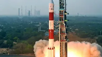
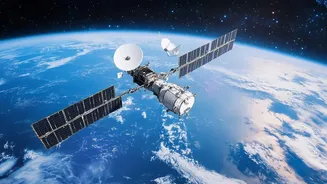
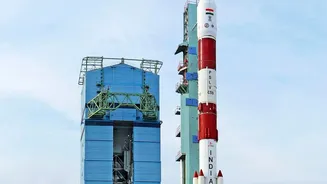
For decades, the Indian Space Research Organisation (ISRO) has built a formidable fleet of Earth observation, communication, and navigation satellites. This infrastructure is the backbone of modern services, from weather forecasting to GPS. However, the sheer
volume of data these satellites generate—over 22 terabytes daily, according to one estimate—is immense. Manually analyzing this flood of information is slow and inefficient. This is where Artificial Intelligence (AI) comes in. By training algorithms to sift through petabytes of satellite imagery and sensor data, AI can identify patterns, detect changes, and generate actionable insights at a speed and scale impossible for human analysts. This shift moves the focus from simply launching satellites to intelligently interpreting the data they provide.
Smarter Farming from the Sky
Agriculture, the livelihood of millions in India, stands to gain immensely. AI algorithms can analyze satellite imagery to monitor crop health, assess soil moisture, and even predict yields with remarkable accuracy. The Indian government is already deploying these technologies through programs like FASAL and Krishi-DSS to provide farmers with crucial advisories. For example, AI can detect early signs of pest infestations or nutrient deficiencies by analyzing the spectral signature of crops, allowing for timely intervention. This data-driven approach, known as precision agriculture, helps optimize the use of water, fertilizers, and pesticides, leading to higher yields and more sustainable farming practices. Furthermore, startups are leveraging AI and satellite data to help banks assess farm productivity, reducing loan approval times from weeks to mere minutes.
Enhancing Disaster Management and Response
India is highly vulnerable to natural disasters like floods, cyclones, and landslides. Satellites provide a bird's-eye view that is critical during emergencies, especially when ground access is cut off. When combined with AI, their utility multiplies. AI models can rapidly compare pre- and post-disaster satellite images to automatically map the extent of flooding or identify landslide-affected areas. This allows disaster management agencies to quickly understand the scale of the damage, prioritize rescue and relief efforts, and identify safe routes for first responders. ISRO's National Remote Sensing Centre (NRSC) already generates flood inundation maps and drought assessments, and AI is set to make these processes faster and more precise, with weather agencies also integrating AI for more accurate forecasts.
Bolstering National Security
The applications of AI in satellite technology are also vital for national security. High-resolution satellite imagery, when processed by AI, can automate the monitoring of borders and critical infrastructure. Object detection algorithms can be trained to identify vehicles, ships, or aircraft, and flag unusual activity or changes over time without constant human supervision. This capability enhances situational awareness and allows security forces to focus their resources more effectively. Moreover, AI plays a crucial role in Space Domain Awareness (SDA) by helping to track thousands of objects in orbit, from active satellites to space debris, and predict potential collisions.
The Road Ahead: A Public-Private Partnership
The integration of AI into India's space ecosystem is being driven not just by ISRO but also by a burgeoning private sector. With over 400 space startups now active in India, innovation is accelerating. Companies are developing everything from AI-powered analytics platforms to satellites with onboard AI processing, which allows for real-time data analysis in orbit. The Indian Space Policy 2023 has further encouraged this synergy, opening the door for greater private participation and investment. This collaborative approach, combining ISRO's decades of experience with the agility of startups, is crucial for building a robust space economy and ensuring India remains at the forefront of technological advancement.