




What Exactly Is El Niño?
At its heart, El Niño is a significant, temporary warming of the ocean surface in the central and eastern tropical Pacific. This isn't a minor temperature shift; it's a large-scale event that happens every two to seven years. In a normal year, strong
trade winds blow from east to west across the Pacific, pushing warm surface water towards Asia and Australia. This allows colder water from the deep ocean to rise up along the coast of South America. During an El Niño event, these trade winds weaken or even reverse. As a result, the warm water that is normally piled up in the western Pacific sloshes back eastwards, spreading across the vast expanse of the ocean. This fundamental change sets off a powerful chain reaction in the atmosphere above.
The Atmospheric Bridge: Walker Circulation
The key to understanding the connection lies in a massive atmospheric pattern called the Walker Circulation. Normally, the warm waters of the western Pacific heat the air, causing it to rise, form clouds, and produce heavy rain over areas like Indonesia. This rising air then travels east at high altitudes, cools, and sinks over the colder waters of the eastern Pacific, creating dry conditions there. This loop is what drives the east-to-west trade winds. When El Niño warms the eastern and central Pacific, this entire engine gets disrupted. The area of rising warm, moist air shifts eastward along with the warm water. Consequently, the region of sinking dry air moves west, often positioning itself over the Indian subcontinent and Southeast Asia.
A Disrupted Monsoon Engine
India's summer monsoon is primarily driven by the temperature difference between the rapidly heating landmass and the cooler Indian Ocean. This creates a low-pressure area over the land that pulls in moisture-laden winds from the sea. El Niño interferes with this system profoundly. The altered Walker Circulation leads to increased atmospheric subsidence—sinking air—over the Indian region. Sinking air is dry and stable, suppressing cloud formation and rainfall. It effectively weakens the natural monsoon circulation, reducing the flow of moisture from the ocean to the land. Historically, many of India's most significant droughts have occurred during El Niño years because of this disruption.
From Weak Rains to Economic Waves
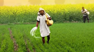
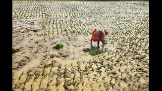
The consequences of a weakened, El Niño-affected monsoon are felt across India. With approximately 70% of its annual rainfall delivered by the monsoon, a deficit has immediate and severe impacts on agriculture, where about half of the farmland is rain-fed. Poor rainfall can lead to delayed crop sowing, reduced yields for key crops like rice, soybeans, and cotton, and lower farmer incomes. This isn't just a rural issue. Lower agricultural output can strain water reservoirs, affect hydropower generation, and drive up food prices, contributing to economy-wide inflation and dampening consumer demand.
An Imperfect Correlation
While the link is strong, an El Niño event does not guarantee a drought in India. Not every El Niño year has resulted in a poor monsoon. Other climate phenomena can play a crucial role, sometimes counteracting El Niño's drying effect. The most notable of these is the Indian Ocean Dipole (IOD), a pattern of sea surface temperature variations in the Indian Ocean itself. A 'positive' IOD, with warmer waters in the western Indian Ocean, can help strengthen the monsoon and offset El Niño's negative influence. This complex interplay means that while El Niño is a major red flag for India's monsoon, it is one important piece of a much larger and more intricate climate puzzle.