

Our Eyes in Orbit: The OceanSat Series
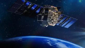
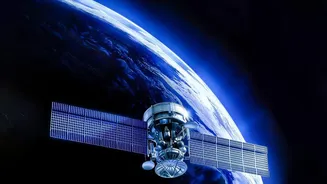
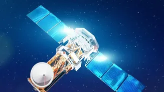
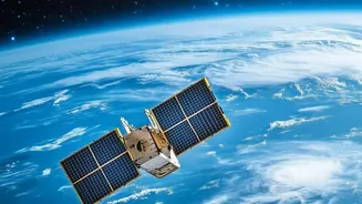
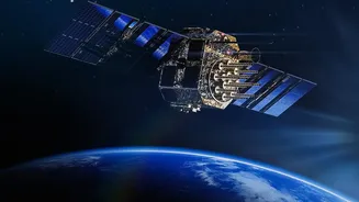
The OceanSat series is a family of Earth observation satellites built and operated by the Indian Space Research Organisation (ISRO), dedicated to oceanography. Starting with the first launch in 1999, these satellites are specifically designed to study
our oceans. The latest in this series, EOS-06, also known as OceanSat-3, was launched in November 2022 to continue and enhance this vital work. Placed in a polar orbit, these satellites circle the Earth, systematically scanning the seas to gather data on everything from water temperature to wind speeds, creating a comprehensive health report of the oceans below.
The Science of Finding Fish from Space
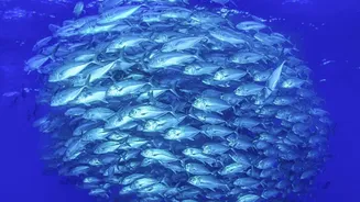
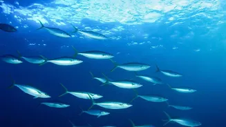
It might sound like science fiction, but finding fish from space is a reality, thanks to a bit of marine biology and some clever technology. The key lies in what the fish eat: phytoplankton. These microscopic marine plants contain chlorophyll. ISRO's OceanSat satellites are equipped with a powerful instrument called the Ocean Colour Monitor (OCM). The OCM can detect the specific colour signature of chlorophyll in the water. Where there's more chlorophyll, there's more food, which attracts schools of small fish, which in turn attract the larger fish that fishermen seek. Additionally, the satellites measure sea surface temperature (SST), as fish are particular about the temperature of the water they inhabit. By combining data on chlorophyll concentration and SST, scientists can identify areas with a high probability of fish aggregation.
From Data to Daily Advisories
The raw data from ISRO’s satellites is just the beginning. This information is sent to the Indian National Centre for Ocean Information Services (INCOIS) in Hyderabad. Here, scientists process the data to create detailed maps identifying 'Potential Fishing Zones' (PFZ). These are not just vague areas but specific locations pinpointed with latitude and longitude coordinates. INCOIS then disseminates these PFZ advisories daily to fishing communities across India's vast coastline. The information is translated into local languages and sent out through various channels, including SMS, dedicated mobile apps like SAMUDRA, and announcements on All India Radio, ensuring it reaches the fishermen who need it most.
A Lifeline for the Fishing Community
For India's fishermen, these advisories are a game-changer. Traditionally, finding fish was a matter of experience, intuition, and a lot of luck, often involving hours of searching and burning expensive fuel. With PFZ advisories, fishermen can head directly to productive areas, saving significant time and money. Studies have shown that using these advisories can reduce fuel consumption by up to 25% and increase the catch significantly. This not only boosts the income of individual fishing families but also reduces the carbon footprint of the fishing industry. It transforms a high-risk, uncertain venture into a more predictable and sustainable livelihood.
Watching the Winds, Warning of Storms
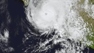
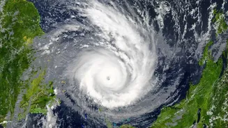
Beyond fishing, the OceanSat series is a crucial tool for weather forecasting and disaster management. The satellites are equipped with an instrument called a scatterometer. This device sends microwave pulses to the ocean surface and measures the backscatter, which allows scientists to determine both the speed and direction of winds over the sea. This data is invaluable for tracking the formation and intensification of cyclones. By providing early and accurate wind field data, satellites like EOS-06 give disaster management agencies a vital lead time to issue warnings and evacuate coastal populations, saving countless lives when a cyclone approaches the coast.