


An Eye in the Sky for Every Field
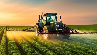
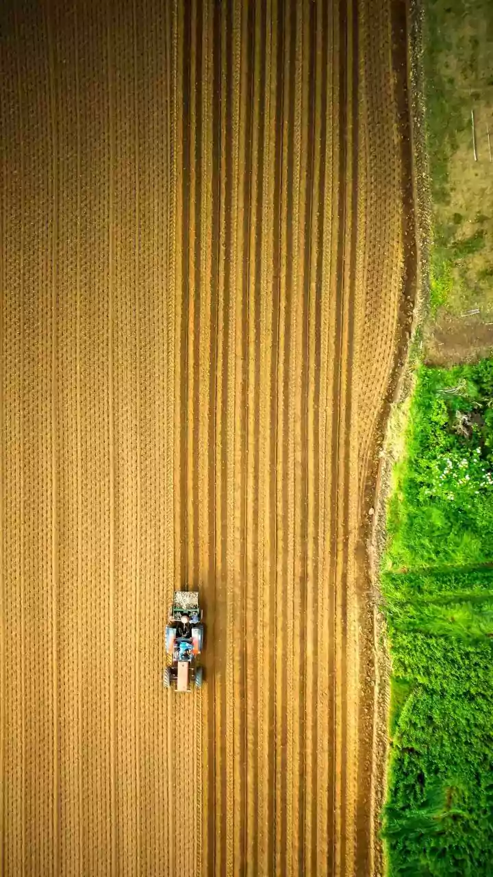
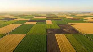
For generations, farmers relied on walking their fields to check on crops. This traditional method, while essential, is time-consuming and limited by what the human eye can see. It’s also nearly impossible to scale across the vast and fragmented farmlands
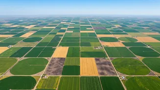
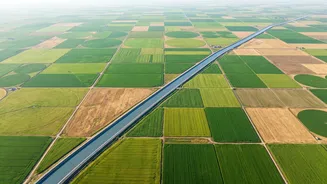
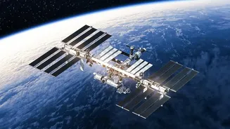
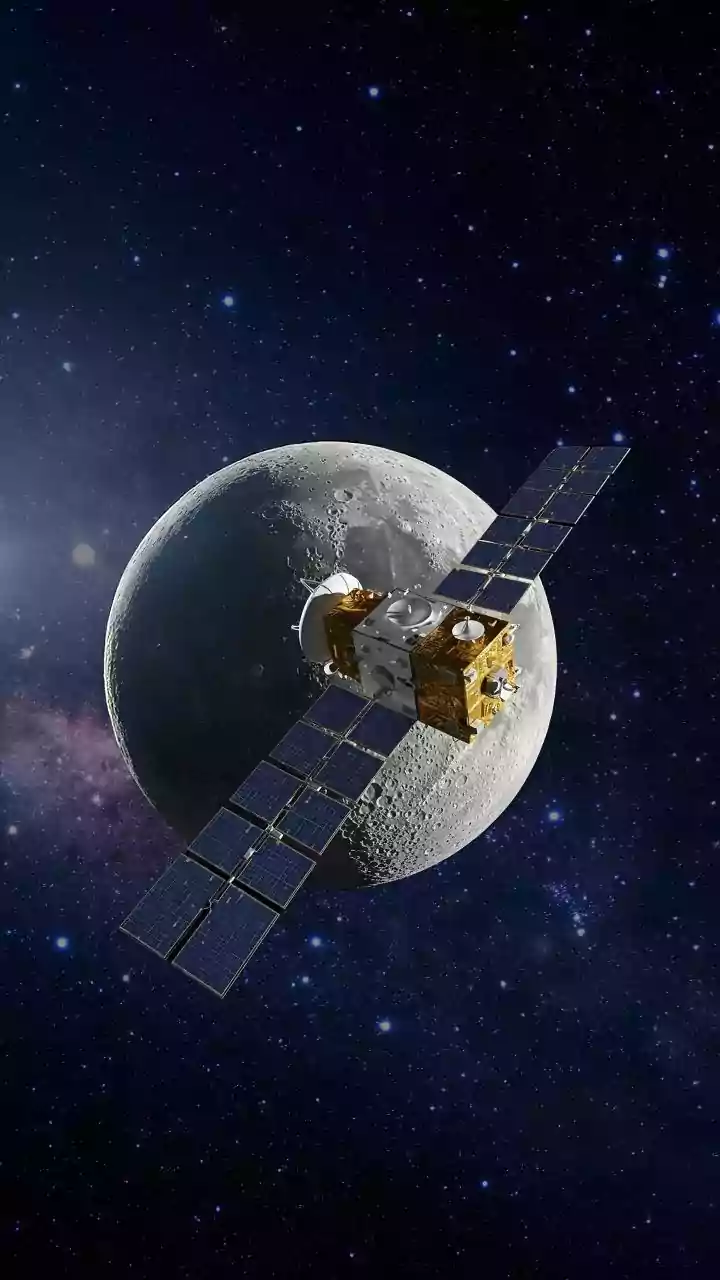
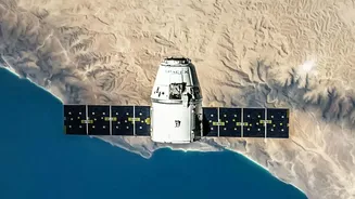
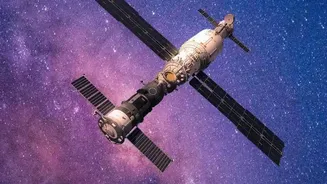
that characterize much of India. Satellites offer a solution to this problem of scale. Orbiting the Earth, they can capture a comprehensive view of millions of fields at once, providing data that helps farmers, agronomists, and policymakers make smarter decisions. This technology allows for consistent monitoring of vast agricultural areas, enabling a level of oversight that was previously unimaginable.
Seeing Beyond the Naked Eye
So, what do these satellites actually see? They are equipped with advanced sensors that capture light reflected from the Earth's surface across different wavelengths, including those invisible to humans. Healthy, thriving plants absorb red light for photosynthesis and reflect near-infrared (NIR) light. Stressed or unhealthy plants do the opposite. By measuring the difference between this reflected red and NIR light, scientists calculate a value known as the Normalized Difference Vegetation Index, or NDVI. A high NDVI value indicates a healthy, dense canopy, while a low value can be an early warning sign of problems like water stress, nutrient deficiency, or pest infestations, often before the damage is visible on the ground.
The Practical Benefits for Indian Farmers
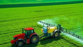
This data isn't just academic; it has powerful, practical applications. For an Indian farmer, satellite insights can mean the difference between a bumper crop and a failed one. By identifying specific zones in a field that are struggling, farmers can practice precision agriculture. This means applying water or fertiliser only where it's needed, reducing waste and input costs. Early detection of pest attacks or disease allows for targeted interventions, minimizing crop losses. Furthermore, satellite data helps in forecasting crop yields with greater accuracy, which is vital for planning, storage, and market stability. For farmers in remote areas, these space-based advisories, often delivered via mobile apps, can bridge the gap left by limited local extension services. Even crop insurance claims are becoming faster and more transparent, as companies use satellite data to verify damage after events like floods or droughts.
Government Initiatives and the Path Forward
Recognizing this potential, the Indian government has launched several initiatives to harness space technology for agriculture. Programs like FASAL (Forecasting Agricultural output using Space, Agro-meteorology and Land-based observations) use satellite data to provide production forecasts for major crops. More recently, the Krishi-Decision Support System (Krishi-DSS) was launched to provide farmers with a single platform for real-time information on soil health, weather, and crop conditions. These systems integrate data from ISRO's satellites to help manage everything from drought monitoring to crop diversification. However, challenges remain. Issues like cloud cover during the monsoon season can obscure optical satellite imagery, although this is increasingly being overcome by combining it with radar-based satellites that can see through clouds. More significant barriers include a lack of digital literacy and poor internet connectivity in some rural areas, which can prevent farmers from accessing and interpreting complex data.