




The Pacific's Global Push and Pull
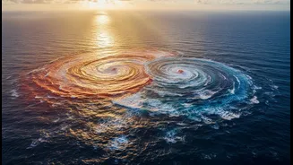
At its heart, the El Niño-Southern Oscillation (ENSO) is a recurring climate pattern involving a change in sea surface temperatures in the tropical Pacific Ocean. Think of it as a giant natural see-saw. In a normal, or 'neutral', phase, trade winds blow
from east to west, pushing warm surface water towards Asia and Indonesia. This keeps the western Pacific warm and rainy, while cooler, nutrient-rich water rises to the surface in the eastern Pacific, off the coast of South America. This entire system, a delicate dance between ocean temperatures and atmospheric pressure, fluctuates every two to seven years between two opposing phases: the warm phase, El Niño, and the cool phase, La Niña.
El Niño: The Warm Phase's Drying Effect
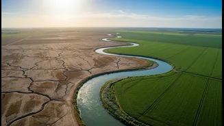
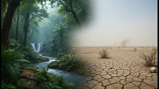
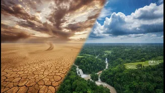
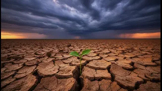
During an El Niño, the normal pattern flips. The trade winds weaken, or can even reverse. This allows the massive pool of warm water normally piled up in the western Pacific to slosh back eastward, toward the Americas. This shift in warm water changes atmospheric pressure, moving the area of rising warm, moist air away from the region of India and Southeast Asia. For India, this disruption is critical. It typically weakens the atmospheric circulation that drives the southwest monsoon. The result is often reduced rainfall, uneven distribution, and a higher probability of drought conditions, particularly across central and northern India. Historically, many of India's most severe drought years have coincided with strong El Niño events.
La Niña: The Cool Phase's Rainy Response
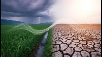
La Niña is essentially the opposite of El Niño; it's an intensification of the normal pattern. During a La Niña event, trade winds become even stronger, pushing more warm water toward Asia and causing an upwelling of colder-than-average water in the eastern Pacific. This concentration of warm, moist conditions in the western Pacific generally enhances the Indian monsoon. La Niña years are often associated with above-average rainfall across the subcontinent. While this can be a boon for agriculture and water reservoirs after dry periods, it's not without risks. Stronger monsoons can also lead to severe flooding, crop damage from waterlogging, and increased cyclone activity in the Indian Ocean.
More Than Just Monsoon Rains
The impact of ENSO extends beyond the four months of the southwest monsoon. El Niño is associated with hotter-than-normal temperatures and punishing heatwaves before and during summer. A recent report from July 2026 warned that the increased demand for cooling during an El Niño year could put immense strain on India's energy grid, potentially leading to a surge in coal use. Conversely, La Niña can contribute to colder-than-usual winters in northern India. While the link is strongest with the monsoon, these phenomena influence India's weather year-round, affecting everything from crop cycles and water management to energy demand and public health.
What's Happening in 2026?
As of early July 2026, India is currently experiencing the effects of El Niño conditions. Forecast models suggest a strong El Niño event is expected to develop through the July-September period. A high-level meeting in the Prime Minister's Office on July 7th, 2026, reviewed the potential impact of a weak to moderate El Niño expected in July and August. While the monsoon's onset was delayed in several states, the first week of July saw above-normal rain, reducing the country's overall deficit. However, authorities remain watchful. It’s important to remember that while the correlation is strong, an El Niño does not guarantee a drought. Other factors, like the Indian Ocean Dipole (IOD), can also influence the monsoon's performance, sometimes acting as a buffer against El Niño's drying effects.