







Seeing Through the Clouds: What is SAR?
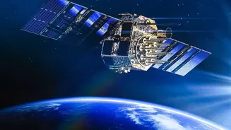
Unlike a regular camera that needs light to take a picture, Synthetic Aperture Radar (SAR) is an active sensor. This means it sends out its own signal—a pulse of radio waves—and then records the echo that bounces back from the Earth's surface. Because
it provides its own illumination, SAR can create detailed images day or night and, most importantly, can penetrate clouds, fog, and smoke, which often block optical satellites. This makes it an invaluable tool, especially during India's monsoon season or when monitoring events like forest fires. The 'synthetic aperture' part is a clever trick: by using the motion of the satellite, a small antenna can digitally simulate a much larger one, producing incredibly high-resolution images from space.
ISRO’s All-Weather Eye in the Sky
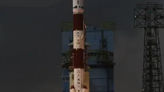
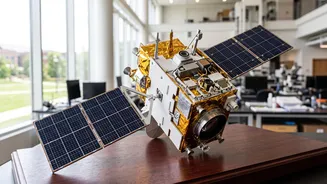
The Indian Space Research Organisation (ISRO) has long been a pioneer in this field. With its series of Radar Imaging Satellites (RISAT), ISRO developed an indigenous capability to monitor the country in all weather conditions. This expertise is culminating in one of the most significant collaborations in space history: the NASA-ISRO SAR (NISAR) mission. This joint satellite will be the first to use two different radar frequencies (L-band and S-band) to produce extraordinarily detailed maps of Earth's surface, observing changes down to a centimetre. ISRO is providing the S-band radar, the spacecraft itself, and the launch vehicle, a testament to India's world-class space technology capabilities. Once operational, NISAR will map the entire globe every 12 days, providing a consistent stream of data that is free and accessible to the public.
From Disaster Relief to National Security
The applications of SAR imagery are vast and directly impact India's development and security. During floods, SAR can map the extent of waterlogging even under heavy cloud cover, guiding rescue and relief efforts. In agriculture, it can monitor soil moisture and crop health, helping to create more accurate yield predictions and move towards predictive farming. Geologists use it to study land subsidence and detect subtle ground movements that might signal an impending earthquake or landslide. Furthermore, its all-weather, day-and-night capability makes it a crucial asset for intelligence, surveillance, and reconnaissance (ISR), helping to monitor borders and strategic assets.
Your Learning Path: ISRO's Gateway Courses
Recognising the growing need for skilled professionals, ISRO, through its premier training centre, the Indian Institute of Remote Sensing (IIRS) in Dehradun, regularly offers courses on SAR data processing and analysis. These programmes range from short-term online courses to more intensive postgraduate diplomas and M.Tech degrees. Many of these are offered as free Massive Open Online Courses (MOOCs), designed for students and working professionals to learn at their own pace. These courses cover the basic principles of remote sensing, digital image processing, and specific techniques for handling SAR data using open-source software. Students learn everything from data acquisition to practical applications like land deformation studies. Upon completion, participants often receive a certificate from ISRO, a valuable addition to any CV. IN-SPACe also periodically announces short-term skill development courses on SAR analysis.
Skills for a Future-Proof Career
The demand for professionals who can analyse geospatial data, particularly SAR data, is booming. From environmental consulting and urban planning to defence and the burgeoning private space-tech sector, companies are looking for analysts with these skills. Job listings for remote sensing analysts and geospatial scientists increasingly specify experience with SAR data processing and programming languages like Python. Learning to analyse SAR data isn't just an academic exercise; it's a direct pathway to a career at the forefront of technology. As start-ups like GalaxEye Space pioneer new multi-sensor satellites, the need for junior image analysts and data scientists will only grow. By taking advantage of ISRO's educational resources, Indian students can position themselves for these exciting opportunities.