


The Promise of Space Data
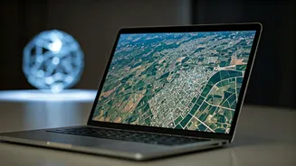
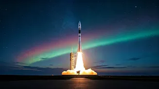
For decades, India has looked to the stars not just for inspiration, but for solutions to its most pressing challenges on Earth. Our satellite constellations provide a constant stream of information, watching over our crops, cities, borders, and weather.
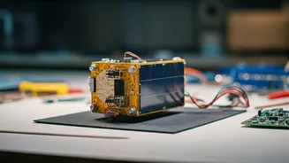
However, a significant portion of this data comes from a technology called Synthetic Aperture Radar, or SAR. Unlike a regular camera that needs light, SAR is an active sensor that can see through clouds, darkness, and smoke. This all-weather, 24/7 capability is a game-changer. The catch? The images it produces are not intuitive photographs. They are complex datasets that require specialised knowledge to interpret, creating a bottleneck between the incredible data being collected in orbit and the experts on the ground who could use it.
Enter IN-SPACe: India's Space Enabler
This is where the Indian National Space Promotion and Authorization Centre (IN-SPACe) steps in. Established as part of India's ambitious space reforms, IN-SPACe acts as a bridge between the Indian Space Research Organisation (ISRO) and the nation's burgeoning ecosystem of startups, private companies, and academic institutions. Its primary mandate is to promote and enable the private sector to participate in space activities, fostering innovation and commercialisation. A key part of this missionনৈতিক includes not just providing access to technology, but also building the human capacity required to use it effectively. Simply put, IN-SPACe's job is to ensure the revolutionary tools developed by ISRO don't remain locked away in high-tech labs, but are put to work for national development.
Demystifying the 'Magic' of SAR
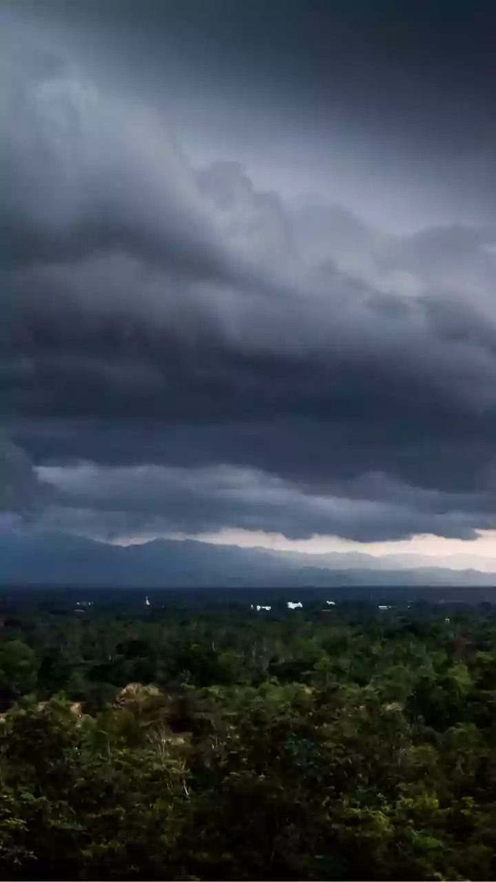
So, what makes SAR data so powerful yet so complex? While a typical satellite camera is passive and relies on sunlight, a SAR satellite actively sends down microwave pulses and measures the signal that bounces back. This process allows it to map the physical structure and properties of the Earth's surface, like soil moisture or the roughness of a road, with incredible precision. The 'synthetic' part of its name refers to a clever technique where the satellite's movement simulates a massive antenna, sometimes kilometres long, allowing a small satellite to produce incredibly high-resolution images. This all-weather capability is invaluable in a country like India, especially during the monsoon season when cloud cover can render normal satellites blind during critical events like floods.
The Crucial Training Initiative
Recognising that data without knowledge is just noise, IN-SPACe has launched a comprehensive training course focused on SAR data processing and application. The course is designed to empower a new generation of analysts, entrepreneurs, and officials with the skills to decode SAR imagery. Participants learn to move beyond the raw data to extract actionable intelligence. The curriculum covers the fundamentals of radar remote sensing, hands-on training with processing software, and case studies tailored to Indian contexts. By creating a skilled workforce, IN-SPACe is addressing the most significant hurdle to the widespread adoption of SAR technology: the expertise gap. This initiative is a critical investment in the human infrastructure needed to power India's space economy.
From Data to Real-World Decisions
The impact of making SAR data useful is immense. For disaster management agencies, it means being able to accurately map the extent of flooding through heavy clouds, guiding rescue efforts more effectively. In agriculture, analysts can monitor crop health and soil moisture, even during cloudy seasons, providing farmers with vital information to improve yields. For urban planners, SAR can detect minute changes in ground level, helping to monitor the stability of infrastructure like bridges and dams. From monitoring deforestation and protecting our natural resources to bolstering national security through surveillance, empowering more people to use SAR data strengthens India's ability to make informed, data-driven decisions across every sector.