


An Early Arrival, A Sudden Halt
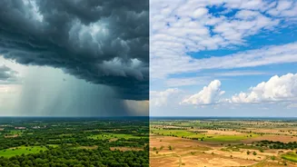
For a while, it seemed like the 2024 monsoon season was in a hurry. After making an early onset over Kerala and the Northeast, the rain-bearing winds surged inland with impressive speed. It covered the entirety of southern and eastern states, Maharashtra,
and even parts of Gujarat and Madhya Pradesh well before its usual date. This rapid progression brought welcome relief from scorching pre-monsoon heat and raised hopes for a robust agricultural season. However, after June 12, the momentum vanished. The Northern Limit of Monsoon (NLM), the imaginary line marking its leading edge, stalled. For nearly a week, it has remained static, refusing to budge further into central and northern India.
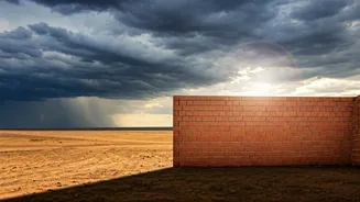
What Is This 'Brick Wall'?
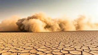
The “brick wall” isn't a physical barrier, but a combination of unfavourable atmospheric conditions. According to the India Meteorological Department (IMD), the primary culprit is the weakening of the monsoon's westerly winds. A strong, sustained flow is needed to push the system forward. Furthermore, there has been a distinct lack of a potent low-pressure system or depression forming over the Bay of Bengal. These systems act like engines, pulling the monsoon currents deep into the mainland. Without one, the monsoon has lost its propulsive force. Additionally, some meteorologists point to an anti-cyclonic circulation over parts of the Arabian Sea, which creates sinking air that suppresses cloud formation and rainfall, effectively creating a high-pressure blockade against the monsoon's advance.
Which Regions Are Most Affected?
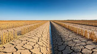
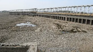
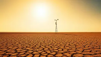
The pause is being felt most acutely in the regions anxiously awaiting their first showers. The monsoon’s progress has been held up along a line stretching from Navsari in Gujarat, through parts of Madhya Pradesh, and up to West Bengal's northern regions. Consequently, states like Uttar Pradesh, Bihar, Jharkhand, and parts of Rajasthan and Punjab are experiencing a prolonged dry spell. This halt has allowed scorching heat to make a comeback. North India, which had seen a brief respite, is once again under the grip of severe heatwave conditions, with temperatures soaring well above 40 degrees Celsius. The delay means a longer wait for relief from the oppressive heat and rising humidity.
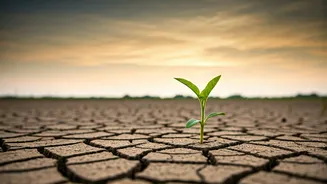
The Impact on Agriculture
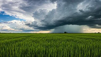
For India’s farmers, the timing of the monsoon is everything. The current lull phase, or “break monsoon” condition, has created significant uncertainty. Farmers in the rain-fed agricultural belts of central and northern India typically begin sowing Kharif crops like rice, soybean, and pulses with the arrival of the first monsoon rains. The delay is forcing many to postpone sowing activities. A prolonged pause can disrupt the entire cropping calendar, potentially affecting soil moisture levels and, eventually, crop yields. While the early arrival was beneficial for southern states, the current stall underscores the vulnerability of Indian agriculture to the monsoon's often-fickle behaviour. All eyes are now on the forecast for its revival.
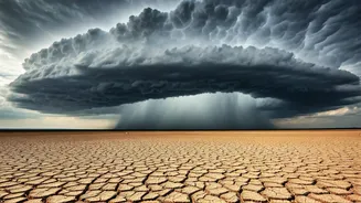
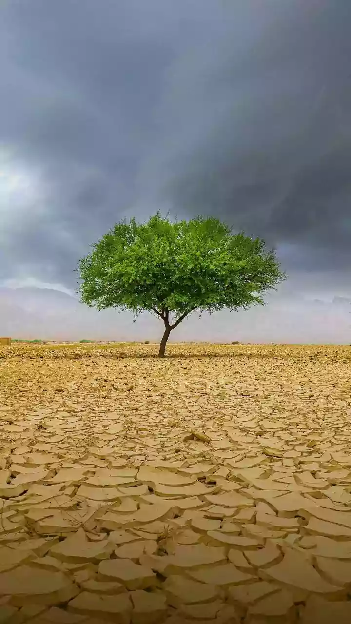
When Will the Rains Return?
The good news is that this is a temporary situation. Weather models and IMD forecasts suggest the monsoon is set for a revival soon. Favourable conditions are expected to develop around June 19-22. Meteorologists are tracking the potential formation of a fresh weather system in the Bay of Bengal, which is crucial for reinvigorating the monsoon flow. Once this system strengthens, it is expected to pull the monsoon currents northward and eastward, breaking the current stalemate. The monsoon is then likely to resume its march into Uttar Pradesh, Bihar, and other parts of northern India, finally bringing the much-awaited rains and breaking the heatwave.