


A Fragile Green Fortress
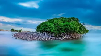
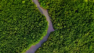
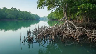
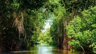
The Sundarbans mangrove ecosystem is more than just a forest; it is a critical buffer against the full fury of nature. Spanning India and Bangladesh, its dense network of trees and roots absorbs the impact of storm surges and cyclonic winds, protecting
coastal communities from devastation. Studies have shown that wide mangrove belts can significantly reduce wave heights and wind speeds, acting as a natural sea wall. However, this vital ecosystem is under immense pressure. Sea levels in the Sundarbans are rising faster than the global average, and between 2000 and 2020, the Indian Sundarbans lost approximately 110 square kilometres of mangroves to erosion and other factors. Cyclones like Amphan in 2020 have caused catastrophic damage, destroying vast swathes of this protective barrier and highlighting its increasing vulnerability.
Seeing the Forest Through the Clouds
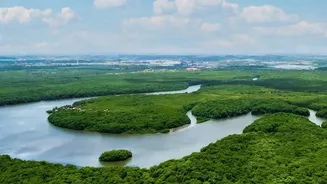
The term 'telemetry' literally means measuring from a distance. In the context of the Sundarbans, it refers to a suite of remote sensing technologies that allow scientists to monitor the forest's health without having to conduct expensive and difficult on-the-ground surveys. This is especially crucial after a cyclone, when vast areas can be inaccessible. The core of this technological toolkit is satellite imagery. Satellites from agencies like the European Space Agency and NASA constantly orbit the Earth, capturing high-resolution images of the land and sea below. By comparing images from before and after a cyclone, researchers can map the extent of the damage with remarkable precision.
The Technology in Action
Scientists use several types of remote sensing data to get a complete picture of mangrove health. Optical satellite imagery, like a powerful camera in space, captures changes in the greenness of the forest canopy. A key tool is the Normalized Difference Vegetation Index (NDVI), which uses the reflection of light to measure plant health. A sharp drop in NDVI values after a storm can indicate widespread defoliation or tree death. But clouds can often obscure the view after a cyclone. This is where radar technology, or Synthetic Aperture Radar (SAR), comes in. SAR can penetrate cloud cover and is used to detect changes in forest structure and, critically, to map areas of flooding. This is combined with LiDAR (Light Detection and Ranging), which uses laser pulses to create detailed 3D maps of the forest's height and density, allowing for precise estimates of biomass loss.
From Data Points to Policy
Collecting data is only the first step. The real power of telemetry lies in how this information is used. By feeding satellite data into Geographic Information Systems (GIS), scientists can create detailed 'damage maps'. These maps show exactly which areas have been hit hardest, identifying hotspots of erosion and mangrove loss. For example, analysis showed Cyclone Amphan caused the most mangrove loss along shorelines that had already been eroding for decades, highlighting how past pressures increase future vulnerability. This information is vital for forest managers and policymakers. It allows them to prioritize restoration efforts, directing resources to the areas that need them most. It also helps in planning more resilient coastal defences, often by combining natural solutions like mangrove plantations with engineered structures.
A Race Against Time and Tide
The use of telemetry is not just a reactive measure; it's becoming a predictive tool. By analysing long-term data, scientists can identify areas where the mangroves are losing their ability to recover from stress, a phenomenon called 'resilience loss'. Research published in 2026 indicated that up to 15% of the Sundarbans has shown reduced resilience since 2000, making these zones more unstable. While satellite remote sensing provides the big picture, some researchers are also developing ground-based IoT (Internet of Things) devices. These small, low-cost sensors can be placed in the forest to provide real-time, in-situ data on environmental parameters, supplementing the view from space. This combination of macro and micro monitoring is crucial in the ongoing effort to protect this endangered ecosystem and the millions of people who depend on its shield.