


From Eruption to Atmosphere
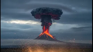
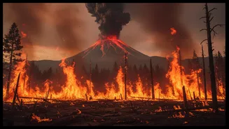
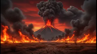
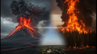
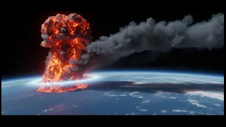
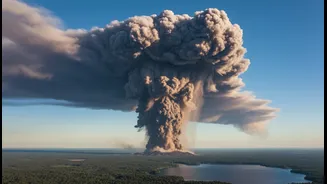
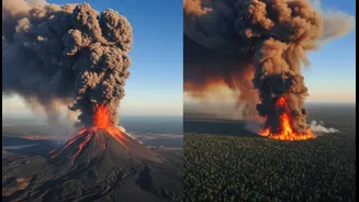
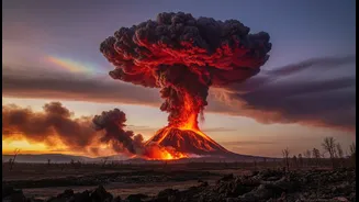
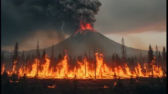
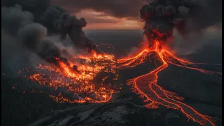
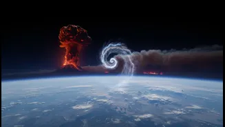
When a large wildfire rages or a volcano erupts, it does more than just scar the landscape; it violently injects a complex cocktail of particles and gases high into the atmosphere. For volcanoes, this includes sulfur dioxide, ash, and water vapour. Wildfires
release immense plumes of smoke, soot, and other aerosols. Globally, scientists have a good grasp on the large-scale consequences. A major volcanic eruption, for instance, can release enough sulfur dioxide to form sulfate aerosols in the stratosphere that reflect sunlight, leading to a temporary cooling of the entire planet. Similarly, smoke from massive fires can travel thousands of kilometres, affecting air quality and visibility far from the source.
The Unpredictable Local Picture
While the global picture is relatively clear, the local and regional weather impacts are much harder to pin down. The same smoke plume that travels across a continent can also alter short-term weather patterns nearby in unexpected ways. For example, a dense smoke cloud can block sunlight, cooling the land beneath it. This can change local wind patterns, sometimes even intensifying the very fire weather conditions that helped the blaze spread. Volcanoes can have similar localised effects, with emissions of water vapour increasing humidity and ash particles acting as seeds for precipitation, a process known as cloud condensation nuclei. However, predicting whether this will lead to a cooling rain shower or a dry, windy downdraft in a specific location is currently beyond our capabilities.
When Fires Create Their Own Weather
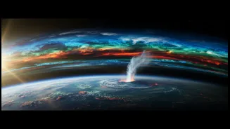
In extreme cases, large wildfires can generate their own weather systems entirely. The intense heat creates a powerful updraft, sucking air upwards and inwards. As this column of hot air and smoke rises, it cools, and the moisture within it can condense to form a cloud known as a pyrocumulus cloud. If the fire is powerful enough and atmospheric conditions are right, this can grow into a pyrocumulonimbus—a full-fledged fire-induced thunderstorm. These storms are highly dangerous and unpredictable, capable of producing powerful winds, hail, and lightning that can ignite new fires far from the original blaze. They represent a chaotic feedback loop where the fire doesn't just respond to the weather; it creates it.
The Critical Data Gap
The core problem for forecasters is a lack of detailed, real-time data from inside these extreme events. Weather models are designed based on typical atmospheric conditions, not the violent, superheated, and particle-choked environment of a volcanic plume or wildfire updraft. Getting sensors into these hostile zones is incredibly difficult and dangerous. While satellites provide a crucial overview, they struggle to distinguish volcanic ash from regular clouds or measure conditions at different altitudes within a smoke plume with the required precision. This lack of ground truth and high-resolution data makes it nearly impossible for current models to reliably forecast the micro-weather that these events generate.
The Path to Better Prediction
Closing this knowledge gap is a major focus for atmospheric scientists. Researchers are developing new tools and techniques to gather the necessary data. These include advanced satellite sensors that can better differentiate particle types, the use of drones to fly directly into plumes, and ground-based LIDAR systems that use lasers to profile atmospheric composition. Supercomputers are being used to run complex simulations that model the physics of these events more accurately, moving from statistical patterns to physics-based forecasting. By combining these technologies, the goal is to feed better data into more sophisticated models, ultimately improving our ability to predict the local weather impacts of these powerful natural phenomena.