








An Eye in the Sky for All
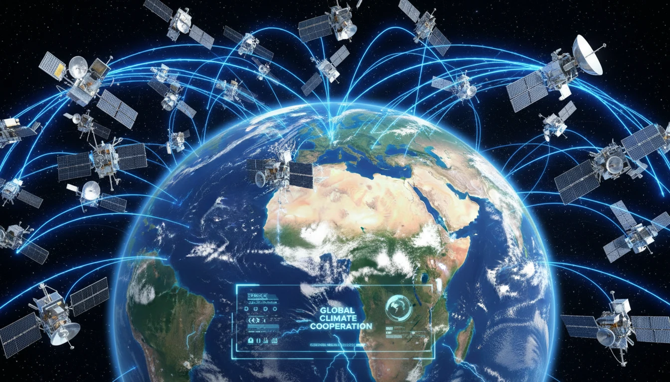
The core of the initiative is the BRICS Remote Sensing Satellite Constellation, an agreement signed by the space agencies of Brazil, Russia, India, China, and South Africa in August 2021. The plan isn't to launch new, shared satellites. Instead, it creates
a 'virtual constellation' by pooling data from existing remote sensing satellites operated by member countries. This means that when a disaster strikes one member nation, it can request and receive crucial satellite imagery and data from its partners' satellites. This network includes powerful Earth observation satellites like India’s Resourcesat-2 and 2A, China’s Gaofen-6, and Russia’s Kanopus-V. Recently, in June 2026, discussions have focused on expanding this constellation to include the bloc's newer members, like Egypt, Ethiopia, Iran, and the UAE, further strengthening its capabilities.
From Data to Decisions in a Disaster
So, how does this work in practice? Imagine a cyclone making landfall on India's east coast or severe flooding in the Brahmaputra basin. Ground-based assessments are often slow, dangerous, and incomplete. With the BRICS constellation, Indian authorities at ISRO's ground station in Shadnagar-Hyderabad can access a wider range of satellite data, faster. Satellites can provide near real-time imagery, day or night and in any weather, using technologies like Synthetic Aperture Radar (SAR) that 'see' through clouds. This allows emergency managers to accurately map the extent of flooding, identify which villages are cut off, assess damage to critical infrastructure like roads and bridges, and plan the most effective routes for rescue teams and relief supplies. By comparing pre- and post-disaster images, the response becomes quicker and more precise.
India’s Strategic Role
India, under its BRICS Chairship in 2026, has been a key driver of this space cooperation, hosting a recent meeting of the heads of space agencies in Bengaluru. The Indian Space Research Organisation (ISRO) is a major contributor with its world-class Resourcesat series, which provides high-resolution data vital for agriculture, water management, and disaster monitoring. This collaboration is not just about receiving aid; it's a two-way street where India's advanced space capabilities are central to the network's success. For India, this initiative enhances its own disaster management toolkit at home while also elevating its role as a leader in space technology within the Global South. By sharing its expertise and data, India strengthens its diplomatic ties and promotes a model of cooperative, peaceful use of space technology.
The Bigger Picture: A New Space Order?
The BRICS satellite agreement is about more than just managing floods. It represents a significant step towards creating an independent, multilateral space infrastructure outside the dominance of Western agencies. By creating their own data-sharing mechanism, BRICS nations reduce their reliance on data from European or American sources for critical and strategic applications. This push for self-reliance was a key theme at the recent meeting in Bengaluru, where Minister of State for Space, Dr. Jitendra Singh, called for a “BRICS Space Economy” and urged members to move from simple coordination to co-creation and co-development. The ongoing discussions about establishing a permanent BRICS Space Council suggest a long-term ambition to formalize this bloc as a major force in global space governance.