






A Groundbreaking Global Partnership
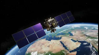
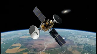
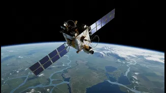
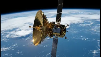
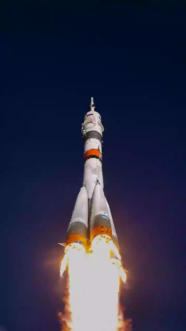
The NISAR mission represents an unprecedented partnership between the U.S. space agency, NASA, and the Indian Space Research Organisation (ISRO). Launched from the Satish Dhawan Space Centre, this joint Earth-observation satellite is the first to use
dual radar frequencies to systematically map our planet. NASA provided the L-band radar, a large reflector antenna, and high-rate communication systems, while ISRO contributed the spacecraft itself, the S-band radar, and the launch vehicle. This collaboration, one of the most expensive Earth-imaging satellite missions ever, makes all its data freely available, ensuring that scientists, disaster response teams, and policymakers worldwide can benefit. The goal is to create a comprehensive, dynamic picture of Earth's land and ice, tracking changes with remarkable precision.
Seeing Through Clouds and Darkness
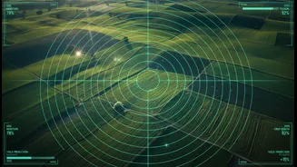
At the heart of the NISAR mission is Synthetic Aperture Radar (SAR), a powerful technology that can gather high-resolution images regardless of weather or time of day. Unlike optical satellites that depend on sunlight and clear skies, SAR is an active system. It sends out a microwave pulse and records the 'echo' that bounces back, creating detailed images of the Earth's surface. The 'synthetic aperture' technique cleverly uses the satellite's motion in orbit to simulate a much larger antenna, allowing it to achieve fine spatial resolution. NISAR is unique because it combines two different radar frequencies: the L-band, which can penetrate forest canopies, and the S-band, which is excellent for monitoring things like crop health and soil moisture. This dual-frequency approach allows the satellite to detect surface changes as small as a centimeter.
A Planet-Wide Health Check
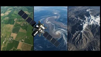
NISAR's primary job is to conduct a regular health check on Planet Earth, scanning nearly the entire globe every 12 days. This constant monitoring provides crucial data for climate adaptation. Scientists can now track the melt rate of glaciers and ice sheets, a key factor in sea-level rise. The satellite will also monitor the world's forests and wetlands, helping researchers understand how these vital ecosystems capture and release carbon. Its data can map changes in vegetation, track groundwater supplies, and provide early warnings for natural hazards like volcanic eruptions, earthquakes, and landslides by detecting subtle ground deformation. This creates an invaluable, long-term record of our changing planet, offering insights into both slow-moving processes and sudden events.
Boosting India's Climate Resilience
For India, the NISAR mission is a game-changer for managing climate risks and natural resources. ISRO has identified key applications tailored to the nation's needs, including monitoring the fragile Himalayan glaciers, studying coastal erosion, and assessing landslide risks. In agriculture, the mission is already transforming practices by providing high-resolution maps of soil moisture. This data, available at a 100-metre resolution, helps farmers optimize irrigation, manage water resources efficiently, and track crop health, which is vital for food security in a changing climate. Furthermore, NISAR plays a critical role in ISRO's Disaster Management Support Programme, offering rapid, reliable data for monitoring floods, cyclones, and forest fires, enabling more effective and timely responses.