




The Monsoon's Treacherous Charm
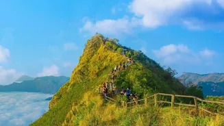
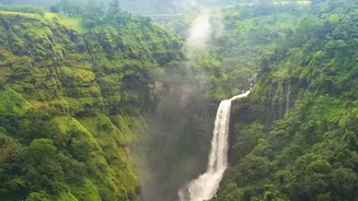
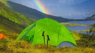
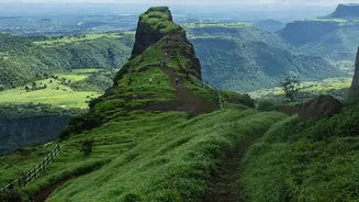
Trekking in the Western Ghats between June and September is an intoxicating experience. Waterfalls cascade down mountainsides, and the landscape is a riot of lush greenery. However, this seasonal beauty comes with significant, often underestimated, dangers.
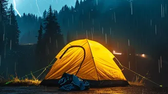
The primary risks are not just slippery paths but flash floods and landslides. A gentle stream can swell into a raging, impassable torrent in minutes, trapping trekkers. Trails can disappear under debris, and the constant rain can destabilize entire hillsides. Compounding the problem is the near-total lack of mobile phone service in these remote valleys and forests, leaving stranded groups with no way to call for help. These factors have led authorities in states like Maharashtra and Karnataka to implement strict rules, including banning trekking in several popular areas during peak monsoon and mandating the use of certified guides.
A Digital Lifeline When Signals Fail
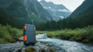
This is where real-time beacons come in. These are not just simple GPS devices. The term typically refers to two key technologies: Personal Locator Beacons (PLBs) and two-way satellite messengers. A PLB is a dedicated emergency device. When activated, it sends a powerful distress signal with your precise GPS coordinates to a global satellite network, which then alerts search and rescue authorities. It’s a one-way SOS call. Satellite messengers, like the popular Garmin inReach series, offer more functionality. They allow for two-way text messaging, location sharing, and weather forecast requests, all via a satellite network, completely independent of mobile towers. This means a trek leader can send and receive messages, provide real-time location updates to a base camp, and still trigger an SOS in a true emergency.
How Beacons Work on the Trail
For trekking groups, this technology is a game-changer. A trek leader carrying a satellite messenger can leave a digital 'breadcrumb' trail, allowing organisers back in the city to monitor their progress on a live map. If the group stops for an unusually long time or deviates from the planned route, the base camp can try to make contact via satellite text. The leader can also proactively request updated weather reports if the conditions seem to be worsening. This access to information helps in making critical decisions, such as whether to turn back or seek shelter, long before a situation becomes a crisis. In a worst-case scenario—a medical emergency or being trapped by a flash flood—the SOS button provides a direct link to rescuers, transmitting the exact location and saving critical time.
Technology Augments, Not Replaces, Skill
While these devices are powerful, experts and seasoned trekkers are quick to point out that they are not a magic bullet. Technology is a tool, not a substitute for experience, preparation, and sound judgment. The best safety system is still a knowledgeable guide who understands local weather patterns and terrain. In fact, recent regulations in states like Karnataka have made certified local guides mandatory for many forest trails, along with GPS-enabled walkie-talkies and a route-tracking app on trekkers' phones. The reliance on beacons is part of a larger, more professional approach to trekking safety. It's about combining local expertise with modern tools to create multiple layers of protection. It is also important for trekkers to note that carrying certain satellite communication devices into India requires prior permission from the Department of Telecommunications due to strict regulations.