

What Is SAR and Why Is It a Game-Changer?
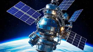
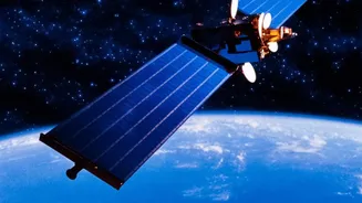
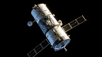
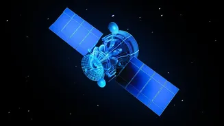
Imagine having a superpower that lets you see through clouds, smoke, and even the dark of night. That's essentially what Synthetic Aperture Radar does for satellites. Unlike regular optical cameras that need light, SAR is an active system. It sends its
own microwave pulses towards the Earth's surface and analyses the signals that bounce back. This allows it to create detailed, high-resolution images regardless of weather conditions or time of day. This unique capability is invaluable for a country like India. It can be used to monitor floods and landslides as they happen, assess crop health for agricultural planning, track deforestation, and enhance surveillance for national security. The upcoming NASA-ISRO SAR (NISAR) mission, which will map the entire globe every 12 days, is set to revolutionise our understanding of the planet's dynamic surfaces, from earthquakes to melting glaciers.
Learning Directly from the Source: ISRO's Training Initiatives
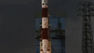
The Indian Space Research Organisation (ISRO), through its premier centres, is at the forefront of building a skilled workforce in geospatial technologies. The key institution for students and professionals to look towards is the Indian Institute of Remote Sensing (IIRS) in Dehradun. IIRS regularly conducts a variety of training programmes, from short-term certificate courses and workshops to full-fledged M.Tech and M.Sc. degrees in Remote Sensing and Geo-informatics. These programmes are designed for a wide audience, including fresh graduates, researchers, and government officials. In the past, IIRS has offered free online courses specifically on SAR data processing, covering topics like geometric corrections and applications using data from ISRO's own satellites. These courses often require a basic understanding of remote sensing and are announced on the official ISRO and IIRS websites, so aspiring students should keep a close watch for new opportunities.
The Core Skills You Need to Build
To become a SAR specialist, you need a blend of theoretical knowledge and practical technical skills. A strong foundation in physics and electrical engineering is a great starting point. The core of SAR work involves heavy data analysis and signal processing. Proficiency in programming languages like Python and MATLAB is essential, as these are widely used for processing complex radar data and developing algorithms. You'll also need to become familiar with specialised software. While many commercial packages exist, the European Space Agency's SNAP (Sentinel Application Platform) is a powerful open-source toolbox that is freely available for anyone to learn SAR data processing. Beyond the technical aspects, a good SAR analyst understands the 'why'—how radar signals interact with different materials on the ground, a field known as radar phenomenology.
Alternative Paths to a Career in SAR
While direct training from ISRO is a fantastic goal, it's not the only path. Many Indian universities now offer postgraduate degrees (M.Tech or M.Sc.) in Remote Sensing and GIS, which provide a strong academic foundation. These programmes often include modules on microwave remote sensing, which covers SAR. To gain practical experience, students can seek out internships. Many private companies in the geospatial sector in cities like Bengaluru, Chennai and Hyderabad now work with SAR data and offer roles like GIS Analyst, Remote Sensing Analyst, and GIS Developer. Building a portfolio of personal projects using freely available SAR data from international space agencies can also demonstrate your skills and passion to potential employers. Getting involved in hackathons and challenges, like those occasionally organised by ISRO, is another great way to test your abilities and network with professionals in the field.