



Our Unseen Eyes in the Sky
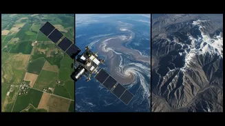
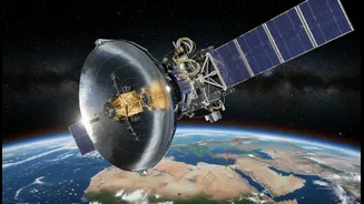
High above the Indian subcontinent, a fleet of sophisticated satellites operated by the Indian Space Research Organisation (ISRO) keeps a constant watch. These are not just any satellites; they are our primary sentinels against nature's whims. The INSAT
(Indian National Satellite) series, particularly the advanced INSAT-3D and INSAT-3DR, are the workhorses of Indian meteorology. Launched to enhance weather monitoring, these geostationary satellites provide continuous coverage of the region, day and night. Working in tandem, they deliver a fresh set of images and data to the India Meteorological Department (IMD) every fifteen minutes. This constant stream of information is the foundation upon which modern weather forecasting is built, moving us far beyond the capabilities of ground-based observations alone. These satellites are a joint effort, representing a long-standing partnership between ISRO and the Ministry of Earth Sciences to protect life and property through better storm warnings and environmental monitoring.
More Than Just Cloud Pictures
The data beamed back by ISRO's satellites is far more than just pictures of clouds. The latest imagers on satellites like INSAT-3D and its successors capture information across multiple spectral bands, including visible light, infrared, and water vapour channels. This allows meteorologists to see what the naked eye cannot. For instance, infrared bands help measure cloud-top temperatures, which indicates the height and intensity of a storm system, while also enabling the tracking of fog and low clouds at night. Furthermore, these satellites are equipped with atmospheric 'sounders'. These remarkable instruments measure the vertical profile of temperature and humidity through the atmosphere at various altitudes. This provides a three-dimensional view of atmospheric conditions, which is crucial for numerical weather prediction models. The satellites can distinguish between snow and clouds, measure sea surface temperatures, and estimate quantitative precipitation, all of which are vital inputs for accurate forecasting.
Pinpointing Nature's Fury
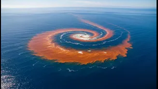
Perhaps the most dramatic impact of ISRO's satellite data is in the tracking and forecasting of cyclones. For a country with a long and vulnerable coastline, the ability to predict a cyclone's track, intensity, and landfall is a matter of life and death. Satellites like INSAT-3D and INSAT-3DR provide the continuous, real-time imagery needed to monitor the formation and movement of these powerful storms in the Bay of Bengal and the Arabian Sea. By analysing cloud organisation, structure, and temperature, forecasters can issue timely and accurate warnings, enabling authorities to evacuate coastal populations and mitigate damage. This capability is a core function of ISRO's Disaster Management Support Programme, which provides crucial near-real-time data to national and state agencies before, during, and after disasters like cyclones, floods, and landslides.
From Space to the Farm
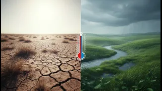
The benefits of satellite data extend deep into India's agricultural heartland. With the economy heavily dependent on the monsoon, accurate rainfall prediction is critical. ISRO's satellites play a key role in monitoring the onset and progress of the monsoon, tracking rainfall patterns, and identifying active and break spells. This information, integrated into decision support systems, helps farmers make informed choices about crop selection, planting times, and irrigation schedules. Beyond the monsoon, satellite data helps in assessing soil moisture, vegetation health, and even identifying areas at risk of drought. This move towards precision agriculture, powered by space-based insights, allows for more efficient use of resources like water and fertilisers, ultimately enhancing crop yields and bolstering food security.