

The Invisible Problem Becomes Visible
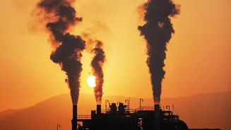
For decades, a major challenge in climate regulation has been tracking methane emissions. As the main component of natural gas, methane is a valuable commodity, but it's also a greenhouse gas over 80 times more potent than carbon dioxide in the short
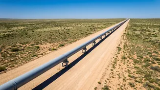
term. Leaks from wells, pipelines, and processing facilities have long been a known issue in major production zones like the Permian Basin, which stretches across West Texas and New Mexico. The problem was that these emissions were invisible and difficult to quantify, allowing them to go largely unaddressed. Operators often reported figures far lower than reality, as ground-based monitoring was difficult and sporadic. This era of plausible deniability is rapidly coming to a close.
An Eye in the Sky Called Hyperspectral Imaging
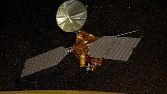
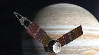
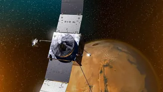
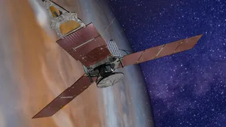
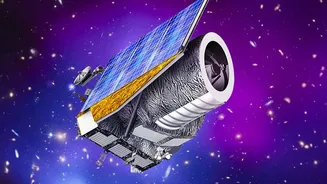
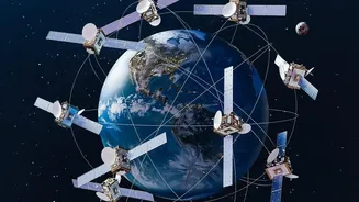
The game-changer is hyperspectral imaging technology deployed on a new generation of satellites. Unlike a standard camera, which sees light in three primary colors, hyperspectral scanners capture data across hundreds of different wavelengths, including in the infrared spectrum. When sunlight passes through the atmosphere and hits a methane plume, the gas absorbs light at a unique spectral "fingerprint." Orbiting sensors can detect this signature, turning an invisible gas cloud into a measurable data point. Organizations and projects like Carbon Mapper and MethaneSAT have been deploying this technology to scan vast areas like the Permian Basin with unprecedented speed and precision, pinpointing not just the presence of methane but also its concentration and source. What used to take extensive ground surveys can now be accomplished from space in seconds.
From Data to Regulatory Action
This flood of high-quality, undeniable data is empowering regulators like the U.S. Environmental Protection Agency (EPA). Armed with satellite evidence of major leaks and so-called "super-emitters," the agency has a powerful new tool for enforcement. The EPA's 2024 methane rule explicitly encourages the use of advanced technologies, including satellite monitoring, to find and fix leaks. The rules give the agency a stronger basis to take action against companies for unauthorized emissions. This marks a significant shift from a system reliant on self-reporting to one of third-party verification from above. The data doesn't lie; satellite analysis has already shown significant discrepancies between reported and actual emissions, putting pressure on regulatory bodies to act on the new intelligence.
A New Era of Accountability for Producers
For oil and gas producers in the Permian Basin, there is now nowhere to hide. The transparency provided by satellite monitoring is forcing a new level of accountability. Companies can no longer claim ignorance about leaks from their facilities. In fact, studies using satellite data have revealed that a small number of super-emitting sites are responsible for a disproportionately large share of total emissions. This data is also revealing policy effectiveness; analysis from MethaneSAT showed that operators in New Mexico, which implemented stricter emissions rules in 2021, had a methane intensity less than half that of their counterparts across the border in Texas. This puts public and investor pressure on companies to improve their infrastructure, adopt better leak detection and repair (LDAR) practices, and ultimately reduce waste.