





The Challenge of Urban Rain
For decades, weather forecasting in India has relied on a network of ground-based observatories, weather balloons, and Doppler radars. While these methods are effective for large-scale weather patterns, they struggle with the unique complexity of urban
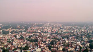
environments. Metros like Mumbai, Chennai, and Bengaluru are 'heat islands', with concrete and asphalt retaining more warmth, and high levels of pollution creating more aerosols. These factors can cause highly localised, intense rainfall events—a cloudburst in one neighbourhood while another stays dry—that traditional systems often miss. This unpredictability leads to flash floods, traffic chaos, and significant economic disruption, highlighting the urgent need for more granular, real-time data.
India's New Eyes in the Sky
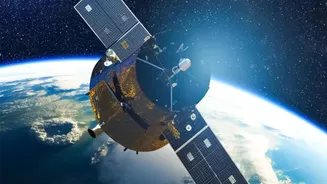
The game-changer is advanced satellite technology. India's INSAT series of satellites, operated by the Indian Space Research Organisation (ISRO), are equipped with sophisticated imagers and sounders that provide a constant stream of data from geostationary orbit. Unlike ground radars, which have limited range, satellites provide a complete picture of the atmosphere, tracking cloud formation, movement, and temperature from above. Instruments like infrared channels can measure the temperature of cloud tops—a key indicator of a storm's intensity—day and night. More recent Radar Imaging Satellites (RISAT) have the remarkable ability to peer through thick monsoon clouds, a crucial advantage during peak rainy seasons.
From Broad Forecasts to Hyper-Local 'Nowcasts'
The true revolution lies in combining this wealth of satellite data with powerful computing. The India Meteorological Department (IMD) is increasingly using Artificial Intelligence (AI) and Machine Learning (ML) to process vast datasets from satellites, radars, and automated weather stations. This fusion of data powers 'nowcasting'—the ability to issue highly specific, short-term forecasts for severe weather events within a three-to-six-hour window. Instead of a general warning for an entire city, residents can receive alerts about potential intense rainfall in their specific locality or even their block. This AI-driven approach significantly improves accuracy, especially for thunderstorms and cloudbursts, which develop and dissipate rapidly.
The Rise of Private Sector Innovation
The public sector isn't working alone. A burgeoning private space-tech ecosystem is adding new capabilities. For instance, the recent launch of the privately built GalaxEye 'OptoSAR' satellite marks a milestone. This technology combines optical imaging with Synthetic Aperture Radar (SAR), which can see through clouds and at night, offering all-weather surveillance capabilities. This kind of high-resolution, all-condition data is invaluable for disaster management, allowing authorities to map inundated areas in near real-time and plan emergency responses more effectively. This shift towards a Data-as-a-Service (DaaS) model, where private firms provide specialized geospatial intelligence, complements government efforts and accelerates innovation.
A Safer, Smarter Urban Future
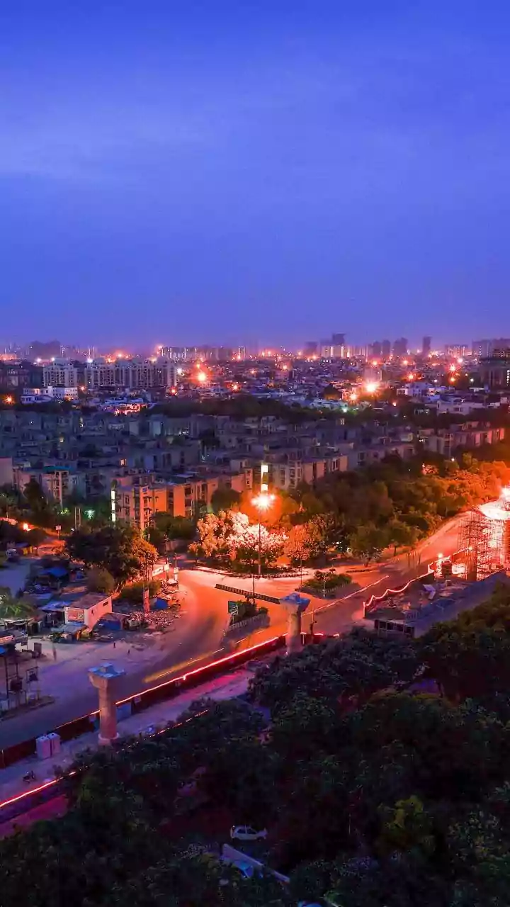
The impact of this revolution extends far beyond simply knowing whether to carry an umbrella. For city administrators, precise rainfall data enables proactive flood management, from clearing stormwater drains to deploying resources to vulnerable low-lying areas. It allows for better traffic management, with the potential to reroute vehicles away from flood-prone zones before they become impassable. For citizens, it means timely, actionable warnings that can protect lives and property. While challenges like improving last-mile connectivity and further refining predictive models remain, the forecast is clear: satellite technology is fundamentally reshaping how India's metros prepare for and respond to the whims of the weather, creating a more resilient and informed urban populace.