


A New Eye In The Sky
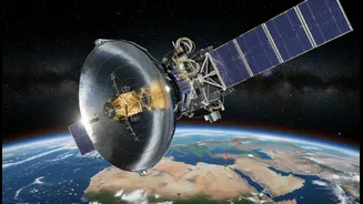
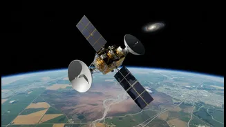
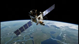
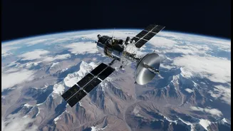
A joint mission between NASA and the Indian Space Research Organisation (ISRO), the NISAR satellite represents a significant leap forward in Earth observation. Short for NASA-ISRO Synthetic Aperture Radar, this advanced satellite was developed to provide
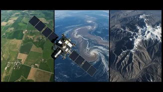
unprecedented data on changes to Earth's land and ice surfaces. Launched from the Satish Dhawan Space Centre, NISAR orbits our planet, scanning nearly all of its land and ice surfaces twice every 12 days. This regular, reliable stream of high-resolution data is poised to transform how we understand and respond to environmental changes, from the smallest shift in a farmer's field to the large-scale impact of a cyclone.
The Power of Dual-Frequency Radar
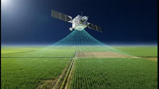
What makes NISAR so special is its use of two different radar frequencies, L-band and S-band. This is the first time a satellite has used dual frequencies for Earth observation. Think of it as having two types of vision. The L-band radar, provided by NASA, can penetrate through clouds, darkness, and even dense forest canopies to see the ground surface. This is crucial for measuring soil moisture and observing changes in the land itself, like subsidence or deformation before an earthquake. The S-band radar, developed by ISRO, is more sensitive to surface features and crop canopies, making it ideal for monitoring the health and growth of vegetation. Together, they provide a comprehensive, all-weather, day-and-night view of the planet that optical satellites simply cannot match.
A Revolution for Indian Agriculture
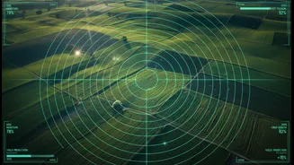
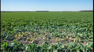
For India's farmers, NISAR's data could be a game-changer. The satellite’s ability to generate high-resolution soil moisture maps will allow for more precise irrigation, helping conserve water in a country where it is often a scarce resource. By distinguishing between different crop types and assessing their health and biomass, the mission will enable officials to create more accurate crop acreage estimates and predict yields with greater confidence. This information is vital for managing the nation's food security. Authorities can track the progress of the planting season, identify areas under stress from drought, and issue timely advisories to farmers, helping them optimize resources and safeguard their livelihoods.
A Vital Tool for Disaster Management
India is particularly vulnerable to a range of natural disasters, including floods, landslides, cyclones, and earthquakes. NISAR is set to become a critical tool for disaster management agencies. Because its radar can see through clouds and rain, it can provide rapid and accurate maps of flood inundation during a cyclone or heavy monsoon, guiding rescue and relief efforts to the areas that need it most. Its ability to detect tiny, centimetre-level changes in the Earth's surface can help identify areas at risk of landslides, particularly in the fragile Himalayan region. It can also monitor ground deformation associated with volcanic activity or earthquakes, offering valuable data for early warning systems and post-disaster damage assessment.