







The Significance of 36,000 Kilometres
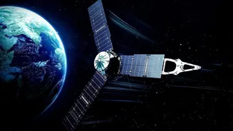
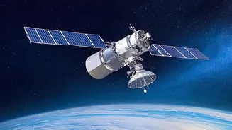
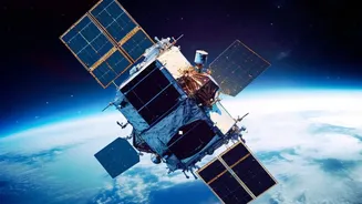
When we talk about an altitude of 36,000 kilometres, we're referring to a specific and highly strategic location in space: the geostationary orbit. Unlike satellites in Low Earth Orbit (LEO) that zip around the planet and revisit a location only periodically,
a geostationary satellite matches the Earth's rotation. This means it remains fixed over the same spot on the ground, providing a constant, unwavering gaze. This persistence is the key to effective, 24/7 vigilance. Instead of getting snapshots, defence forces get a continuous live feed of a region of interest, whether it's a strategic mountain pass or a sensitive coastal area. This capability transforms surveillance from a series of intermittent checks into a permanent, unblinking eye in the sky.
Conquering the Tyranny of Terrain
The Himalayas and the dense jungles of the Northeast present immense physical barriers to traditional surveillance. Towering mountains create vast 'radar shadow zones' where ground-based sensors are blind, and steep valleys can hide movements effectively. Human patrols face extreme weather, high altitudes, and treacherous paths. Satellites completely bypass these terrestrial limitations. From their vantage point, they can look down into deep valleys and over high ridges, eliminating the blind spots that plague ground-based observation. This is particularly crucial for monitoring infrastructure development, troop movements, or unusual activity in areas that are physically inaccessible to patrols. The ability to maintain watch, irrespective of punishing weather or impassable terrain, provides an enormous strategic advantage.
Seeing Through Cloud and Darkness
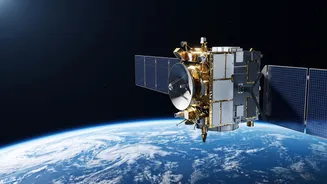
An eye in the sky is only useful if it can actually see. India's surveillance satellite fleet isn't limited to standard optical cameras, which are hampered by clouds and darkness. The country employs a layered network of satellites with diverse capabilities. This includes the RISAT (Radar Imaging Satellite) series, which uses Synthetic Aperture Radar (SAR). SAR can penetrate cloud cover, fog, and smoke, and it works just as well at night as it does during the day. This all-weather, day-and-night capability is essential in regions like the Himalayas, where weather conditions can change in an instant. By combining optical imagery with radar and other sensors, like those on the EMISAT which can detect radar emissions, India builds a more complete and reliable intelligence picture.
From Data to Real-Time Decisions
Collecting data is one thing; making it actionable is another. The constant stream of information from surveillance satellites feeds into India’s Integrated Air Command and Control System (IACCS). This network fuses data from various sources—satellites, drones, ground radar—into a single, unified operational picture. This allows commanders to see emerging threats in near real-time, rather than waiting for intelligence reports to be analyzed and passed up the chain. Furthermore, dedicated communication satellites, like those in the GSAT-7 series, provide secure, encrypted channels for the Army, Navy, and Air Force. These satellites enable network-centric operations, connecting ships at sea, aircraft in the sky, and troops on the ground, ensuring that the intelligence gathered from space can be used to coordinate a swift and precise response.
The Future of Vigilance
India is continuously expanding its space-based assets to enhance this protective shield. With upcoming launches like the EOS-05, an advanced imaging satellite designed for geostationary orbit, the country is set to gain even more persistent monitoring capabilities. Plans are in motion to launch dozens of new military satellites to create a multi-layered surveillance grid. This includes a mix of LEO satellites for high-resolution imagery and GEO satellites for constant oversight. This growing constellation not only serves as a deterrent but also solidifies India's self-reliance in critical defence technologies, ensuring that the nation's remote and rugged frontiers are never out of sight.