




A Planet in Constant Motion
Our planet is anything but static. Tectonic plates grind against each other, volcanoes swell before erupting, and ice sheets slide towards the sea. These processes often happen too slowly or are too subtle for the human eye to perceive. The NASA-ISRO
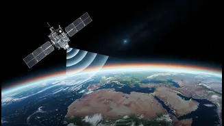
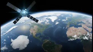
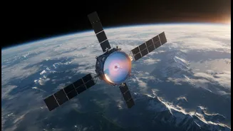
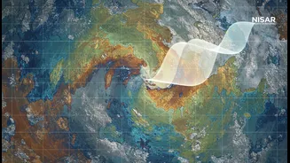
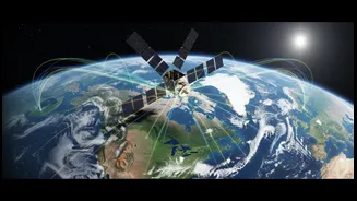
Synthetic Aperture Radar (NISAR) mission is designed to create a time-lapse movie of our planet, capturing these minute movements with astonishing precision. By scanning nearly all of Earth's land and ice surfaces every 12 days, NISAR will build a decade-long record of planetary change, revealing patterns that have been invisible until now. This isn't just about making beautiful maps; it's about building a deeper understanding of the forces that shape our world, from the likelihood of earthquakes to the impacts of climate change.
The Two-Eyed Satellite
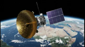
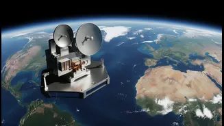
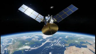
What makes NISAR unique is its ability to see the Earth with two different kinds of radar 'eyes'—a collaboration that makes it the first dual-frequency radar satellite of its kind. NASA has provided the L-band radar, which has a longer wavelength capable of penetrating through forest canopies to see the ground beneath. ISRO, in turn, has developed the S-band radar, which uses a shorter wavelength ideal for observing finer details, like changes in crop cover and soil moisture. Together, these systems, sharing a large 12-meter mesh antenna, provide a comprehensive view that neither could achieve alone. And because it uses radar, NISAR can see through clouds and darkness, ensuring it never misses a beat, day or night, rain or shine.
From Millimetres to Mountains
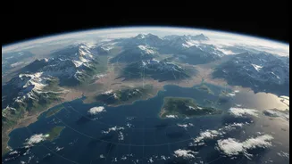
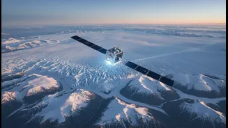
The scale of what NISAR can detect is staggering. It is engineered to spot changes in Earth's surface as small as a centimetre. This sensitivity will allow scientists to monitor the strain on fault lines before an earthquake, track the subtle swelling of a volcano that signals an impending eruption, and measure the thinning of glaciers and ice sheets with incredible accuracy. Beyond natural hazards, the mission will monitor the slow sinking of cities (a process called subsidence), track changes in groundwater levels, and map deforestation and agricultural biomass. This data will be free and openly available, providing a vital resource for disaster management teams, city planners, and scientists around the globe.
A Vital Tool for India
For India, NISAR is more than just a scientific collaboration; it's a powerful tool for national development and safety. ISRO has identified specific objectives of particular relevance to the subcontinent. The satellite’s S-band radar will be crucial for monitoring India's vast agricultural lands, helping to assess crop health and improve yield forecasts. It will also provide invaluable data on the Himalayan glaciers, which are a critical source of water for millions. Furthermore, NISAR will help monitor and assess natural disasters to which India is prone, including landslides, earthquakes, and floods. By tracking changes in coastlines and monitoring groundwater levels, the mission will support sustainable resource management and help protect vulnerable communities across the country.