



An Eye in the Sky Like No Other
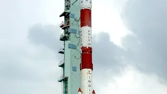
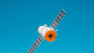
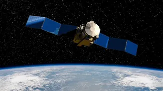
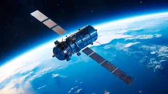
Launched in July 2025, NISAR is the world's most expensive and advanced Earth-imaging satellite, a testament to the partnership between the U.S. and Indian space agencies. Orbiting 747 kilometres above Earth, the satellite is designed to scan nearly all
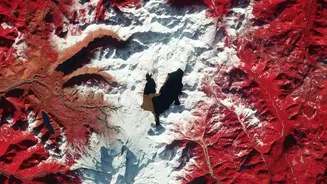
of our planet's land and ice surfaces every 12 days. What makes NISAR revolutionary is its use of dual-frequency Synthetic Aperture Radar (SAR). Unlike standard optical satellites that are blinded by clouds or darkness, NISAR's radar can see through these obstacles. This provides an all-weather, day-and-night capability to track changes on the ground with astonishing precision — down to a few centimetres.
The Science of Seeing Water Underground
For a country like India, where groundwater is a lifeline for agriculture and drinking water, NISAR's capabilities are a game-changer. The satellite doesn't see water directly, but it does something even smarter: it measures tiny changes in the ground level. When large amounts of groundwater are extracted from underground aquifers, the land above can sink slightly, a phenomenon known as subsidence. By using a technique called Interferometric SAR (InSAR), NISAR can map this subsidence over vast areas with millimetre-scale accuracy. This data gives water resource managers a powerful new tool to understand how and where groundwater is being depleted, identifying hotspots of over-exploitation long before they become irreversible crises. It’s a leap forward from relying solely on a limited number of physical monitoring wells.
A New Digital Watch for India’s Forests
NISAR's dual radar frequencies are uniquely suited for monitoring forests. The shorter S-band waves, provided by ISRO, penetrate the upper canopy, while NASA's longer L-band waves can pierce through dense foliage to map the forest floor. This combination allows scientists to build a detailed, three-dimensional picture of forest health. It can distinguish between different types of vegetation, measure forest biomass (the amount of carbon stored in trees), and track deforestation and degradation with incredible detail. This is crucial for India's climate goals and for protecting biodiversity. The satellite can also detect soil moisture and flooding beneath the canopy, which is vital for managing wetland ecosystems like those in Uttarakhand. While the data is now flowing, the challenge remains to build the on-ground systems to respond quickly to the alerts NISAR provides.
Beyond Water and Woods
The mission's benefits for India extend far beyond just groundwater and forests. The same technology used to track subsidence can also be applied to monitor landslides in the Himalayas, a critical application for disaster preparedness. ISRO has identified agricultural monitoring as another key area, with NISAR's data helping to assess crop health, soil moisture, and the impact of drought on a massive scale. By tracking changes in the Earth's crust, the satellite will also provide valuable information for understanding earthquake dynamics and volcanic activity. From managing natural resources to improving disaster response, NISAR is set to become an integral part of India's national infrastructure.