


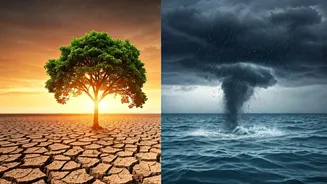


A Doctor's Check-up for Earth
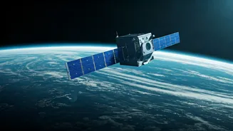
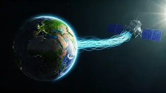
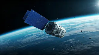
Satellites are our planet's primary health monitors. From hundreds of kilometres above, they provide an unbiased, continuous stream of data on the vital signs of our world. Instruments on board missions like NASA's Landsat and the European Space Agency's
Sentinel series are tracking the unprecedented melt of polar ice caps and glaciers with startling precision. They measure the slow but steady rise in sea levels, a direct threat to coastal cities from Mumbai to Kolkata. These "eyes in the sky" also monitor greenhouse gas concentrations, mapping out carbon dioxide and methane hotspots across the globe. This data is no longer just for scientists; it’s crucial for policymakers to verify emissions reduction pledges under agreements like the Paris Accord. For India, satellite data helps track the health of the monsoon, providing insights that are vital for an economy so deeply connected to its annual rainfall patterns.
Smarter Farming from the Stars
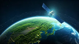
The next agricultural revolution is not happening in a lab, but from space. Precision agriculture, powered by satellite technology, is transforming how farmers in India and around the world cultivate their land. Using GPS and high-resolution satellite imagery, farmers can get a detailed map of their fields, showing variations in soil health, moisture levels, and crop stress. This allows for the targeted application of water and fertilisers, a practice known as Variable Rate Technology (VRT). Instead of watering an entire field uniformly, farmers can give more to the thirsty patches and less to the saturated ones. This not only conserves precious water—a critical issue across much of India—but also reduces fertiliser runoff, which pollutes rivers and groundwater. Indian initiatives like ISRO's Bhuvan platform provide geospatial data that helps in crop acreage estimation, pest surveillance, and yield forecasting, empowering farmers with information that was once unimaginable.
Early Warnings and Swift Relief
When disaster strikes, time is the most critical resource. Space technology has become an indispensable tool for both predicting natural calamities and coordinating relief efforts once they occur. Weather satellites, including India's own INSAT series, continuously monitor the oceans for the formation of cyclones, providing meteorological departments with the advance warning needed to evacuate coastal populations and save countless lives. When earthquakes or floods do happen, communication satellites ensure that first responders can stay connected even when terrestrial networks are down. Furthermore, observation satellites can provide rapid damage assessment maps, showing emergency services which bridges have collapsed, which roads are blocked, and which areas are most severely affected. This allows for the efficient deployment of aid and rescue teams to where they are needed most, turning chaos into a coordinated response.
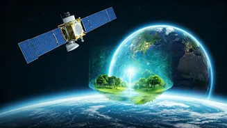
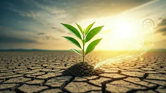
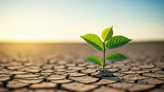
Finding Water and Protecting Forests
Two of Earth's most vital resources—freshwater and forests—are under immense pressure. Here too, space technology offers powerful solutions. Satellites equipped with specialised sensors can help locate potential underground water sources, a game-changer for arid regions struggling with water scarcity. For instance, radar-based systems can penetrate dry soil to map aquifers, guiding drilling efforts for new wells. Simultaneously, other satellites are dedicated to monitoring the planet's green cover. They track deforestation in real-time, helping authorities combat illegal logging and monitor the effectiveness of conservation and reforestation projects. By providing a large-scale, consistent view, satellites give us the data needed to manage these finite resources sustainably, ensuring they are available for future generations.