


Seeing the Unseen: Detecting Heat Through Smoke
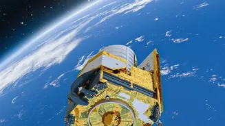
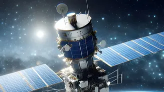
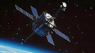
Long before a burn scar is visible, satellites can detect a fire as it starts. This is possible thanks to specialised sensors that can see what the human eye cannot. Instruments aboard satellites from NASA and NOAA, such as the Moderate Resolution Imaging
Spectroradiometer (MODIS) and the Visible Infrared Imaging Radiometer Suite (VIIRS), are tuned to detect thermal anomalies. They pick up on the intense heat energy emitted by a fire, registering it as a 'hotspot' even through thick smoke or at night. These systems can detect fires ranging from large blazes down to the size of a few hundred square metres, providing near real-time alerts to agencies on the ground within hours of a satellite pass. This early detection is critical, giving first responders a vital head start in allocating resources and planning containment strategies, especially in remote and inaccessible regions.
Mapping the Aftermath: The Burn Scar
Once the flames have subsided, the next critical task is to understand the extent and severity of the damage. This is where 'burn scar' mapping comes in. Satellites don't just take simple photos; they capture data across different wavelengths of light, including near-infrared (NIR) and shortwave infrared (SWIR). Healthy vegetation is highly reflective in the NIR spectrum, while burned areas, covered in charcoal and ash, absorb it. Conversely, burned land has a stronger signal in the SWIR spectrum. By comparing pre-fire and post-fire imagery using a calculation known as the Normalized Burn Ratio (NBR), scientists can create a detailed map of the affected area. This process highlights the fire's perimeter with remarkable precision, creating a definitive record of the land it consumed.
From Data to Decisions: Assessing Burn Severity
A burn scar map is more than just an outline of the fire. By analysing the difference in the Normalized Burn Ratio before and after the fire (a metric called dNBR), scientists can classify the 'burn severity'. This reveals which areas were lightly scorched and are likely to recover quickly, versus those that experienced intense heat that consumed vegetation and altered the soil. This graded map—often showing low, moderate, and high severity zones—is invaluable for post-fire management. Forest officials can use it to prioritise salvage logging operations, identify areas at high risk of soil erosion and landslides, and pinpoint where to focus reforestation and habitat restoration efforts. It allows for a targeted, efficient response instead of a one-size-fits-all approach.
The Indian Context: ISRO's Role in Fire Management
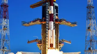
India, with its vast and diverse forests, heavily relies on space technology for wildfire management. The Indian Space Research Organisation (ISRO), through its Disaster Management Support Programme, plays a pivotal role. ISRO uses data from its own satellites as well as international ones like NASA's MODIS and VIIRS to provide near real-time fire alerts. These alerts, often generated multiple times a day during fire season, are disseminated to the Forest Survey of India (FSI) and state forest departments, enabling swift ground-level action. Furthermore, the recently operational NASA-ISRO Synthetic Aperture Radar (NISAR) satellite offers an even more powerful tool, with the ability to see through clouds and darkness to monitor forest health and degradation with unprecedented detail. This advanced capability is helping to build a more comprehensive picture of fire risk and impact across the country.
A Global Effort for a Global Problem
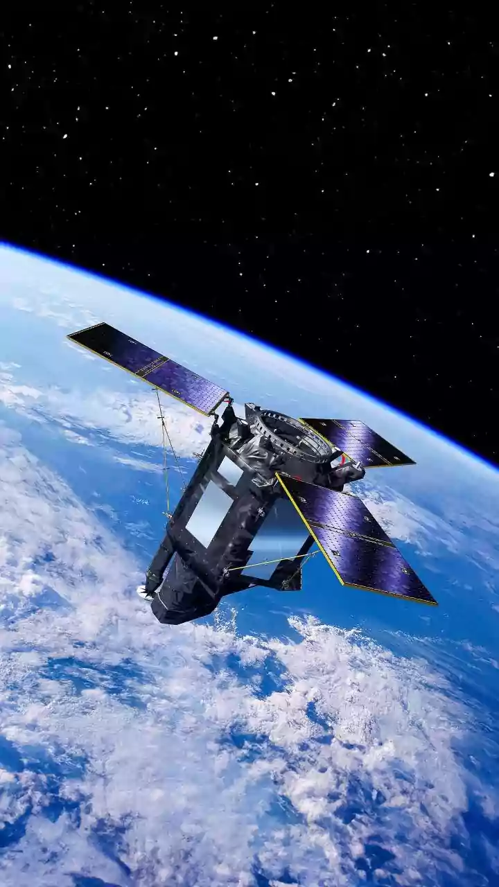
Wildfire monitoring from space is a collaborative global effort. Europe's Copernicus programme, with its Sentinel series of satellites, provides crucial data on active fires and burned areas, often making it available to emergency services with increasing speed. Data from various agencies is often shared through platforms like NASA's Fire Information for Resource Management System (FIRMS), which provides a global map of active fires accessible to anyone. This open-access approach ensures that countries around the world can leverage the best available technology to combat wildfires. As fires become more frequent and intense due to climate change, this network of orbital sentinels is more important than ever, representing a united front in our efforts to protect vulnerable ecosystems and communities.