





A Forest Unlike Any Other
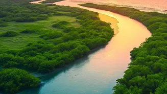
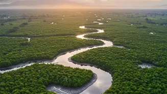
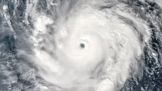
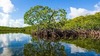
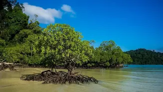
Stretching across India and Bangladesh, the Sundarbans is a UNESCO World Heritage Site and a critical ecosystem. These mangrove forests act as natural barriers, protecting coastal communities from storm surges and cyclones, a service of increasing importance
due to climate change. They are also immense stores of 'blue carbon,' sequestering up to four times more carbon than terrestrial forests, making them indispensable in the fight against global warming. This unique environment is a biodiversity hotspot, famously home to the Royal Bengal tiger. But this precious ecosystem is under severe pressure from rising sea levels, erosion, deforestation for agriculture and aquaculture, and pollution, leading to significant degradation and loss of forest cover.
The Challenge of Working on the Ground
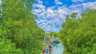
Restoring and managing the Sundarbans is a monumental task. The delta is a complex and often inaccessible network of islands, mudflats, and waterways. Traditional conservation methods, which rely on on-foot surveys and manual measurements, are slow, expensive, and often fail to capture the full picture of what is happening across such a vast area. It is difficult to know which areas are most degraded and need urgent help, or to accurately measure if planting new mangroves is actually working. This lack of precise, large-scale data has been a significant roadblock for conservationists trying to maximize the impact of their limited resources.
An Eye in the Sky Changes Everything
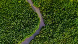
This is where satellite carbon mapping comes in. Using advanced remote sensing technologies, scientists can now get a detailed view of the forest from space. Satellites equipped with optical and radar instruments can see through clouds and work day or night to collect vast amounts of data. These instruments measure factors like the height, density, and health of the mangrove canopy. By combining this information with machine learning algorithms, researchers can create highly accurate, high-resolution maps that estimate the amount of biomass—and therefore, the amount of carbon—stored in the forest. This technology provides a dynamic, near real-time understanding of the ecosystem's health.
From Precise Data to Powerful Action
This satellite-derived data is a game-changer for restoration efforts. Conservation groups can now pinpoint the exact areas where the forest is thinning or has been lost, allowing for targeted replanting initiatives. By comparing images over time, they can monitor the growth of newly planted areas and assess the success of restoration projects with unprecedented accuracy. This clear evidence of progress is crucial for accountability and planning. Furthermore, by accurately quantifying the amount of carbon being stored, these maps provide the verifiable data needed to access blue carbon markets. This can unlock vital funding for conservation, as countries and companies look to invest in nature-based solutions to offset their emissions, creating a sustainable financial model for protecting the Sundarbans.
A New Era of Conservation
The integration of satellite carbon mapping is not just about data; it's about making conservation smarter, faster, and more effective. It allows for a holistic approach where technology supports and enhances on-the-ground work. Projects are already underway that combine satellite monitoring with community involvement, training local people to participate in restoration and data collection. This fusion of high-tech tools and local knowledge ensures that restoration efforts are not only scientifically sound but also socially sustainable. As this technology becomes more accessible, it holds the promise of being scaled up, not just for the Sundarbans but for threatened mangrove ecosystems worldwide, heralding a new, more hopeful era for coastal conservation.